New archaeological systems for locating civilizations
by using GEOLOGICAL ENERGY TRANSLATIONS
I did archaeology at Lund's University 2012 to 2013
by Henryk Szubinski
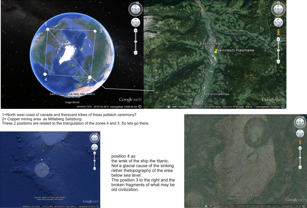
Im using my new system to loacte civilizations that are as yet unfound.
The system functions by using a book on archaeology and finding places that are archeologicaly defined on the left page and then Another
Place of archaeological interest on the right page. Then you locate the 2 positions, make a line between them and continue to draw a triangle
in the zone where the 2 are placed on the World map so that the Points of the new triangle indicate new positions that have something
similar to each other geologically.
Here below I've used the North western coast of Canada and Salzburg as the 2 pages that i looked up on pages 258 and page 259of "The Oxford Illustrated History of Prehistoric Eaurope, by Barry Cunliffe.
note on a detail:
The position 4 defines the position of the SHIP, the TITANIC . Strange that it would be in this position.
by using GEOLOGICAL ENERGY TRANSLATIONS
I did archaeology at Lund's University 2012 to 2013
by Henryk Szubinski
Im using my new system to loacte civilizations that are as yet unfound.
The system functions by using a book on archaeology and finding places that are archeologicaly defined on the left page and then Another
Place of archaeological interest on the right page. Then you locate the 2 positions, make a line between them and continue to draw a triangle
in the zone where the 2 are placed on the World map so that the Points of the new triangle indicate new positions that have something
similar to each other geologically.
Here below I've used the North western coast of Canada and Salzburg as the 2 pages that i looked up on pages 258 and page 259of "The Oxford Illustrated History of Prehistoric Eaurope, by Barry Cunliffe.
note on a detail:
The position 4 defines the position of the SHIP, the TITANIC . Strange that it would be in this position.
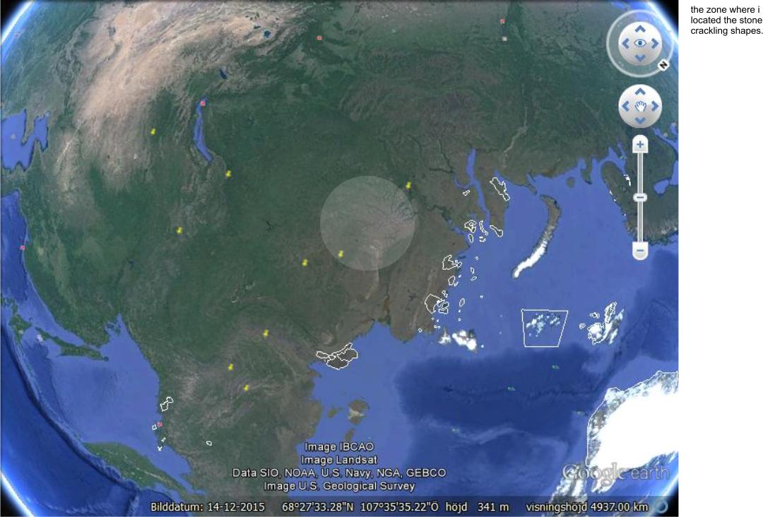
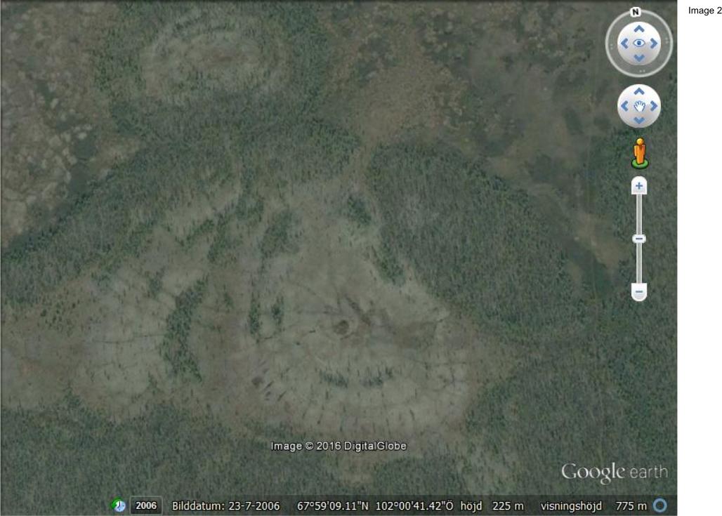
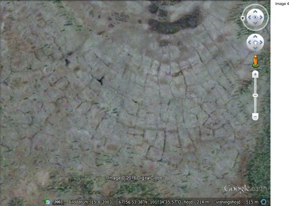
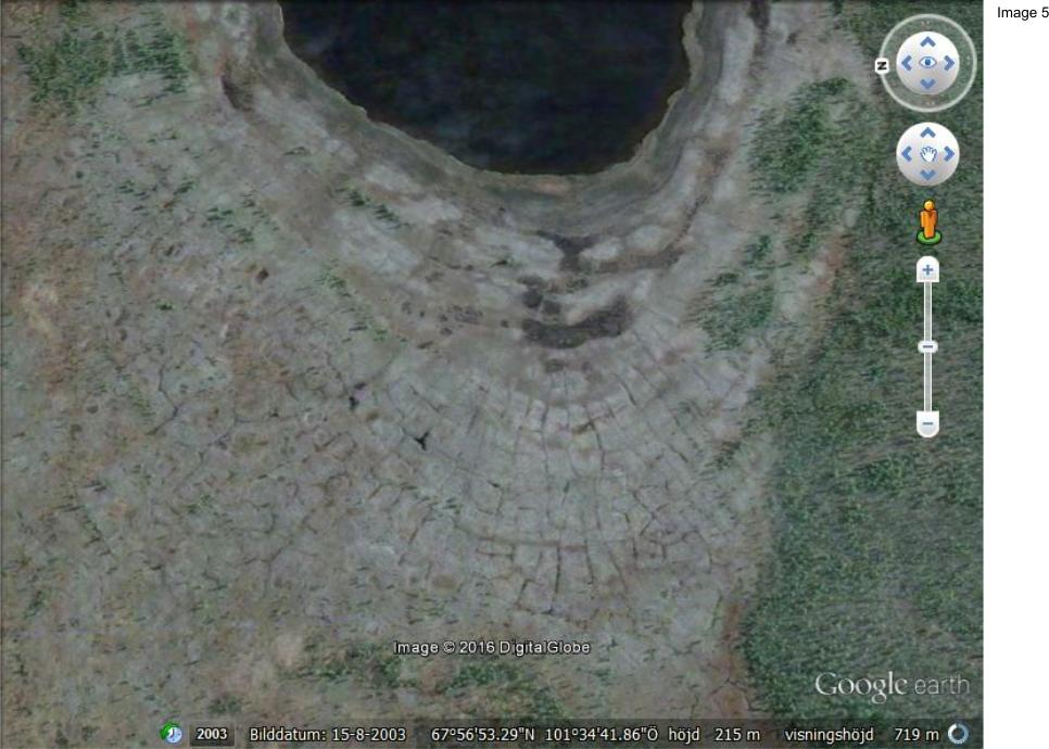
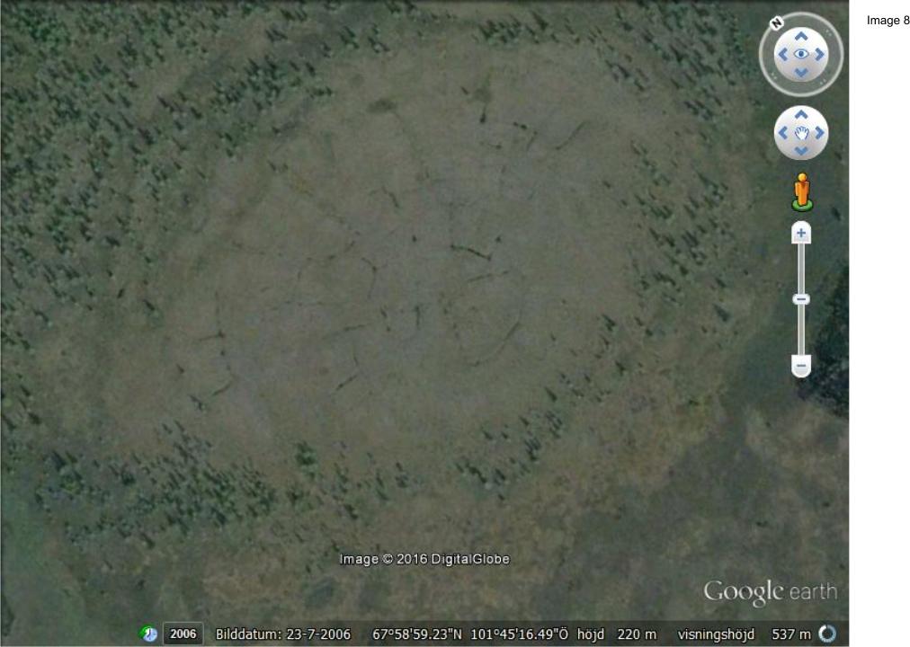
Here then, position 3 and the Discovery of regular sectioning of circular patterns in the ground as similar to some Foundations of building of an old civilization.
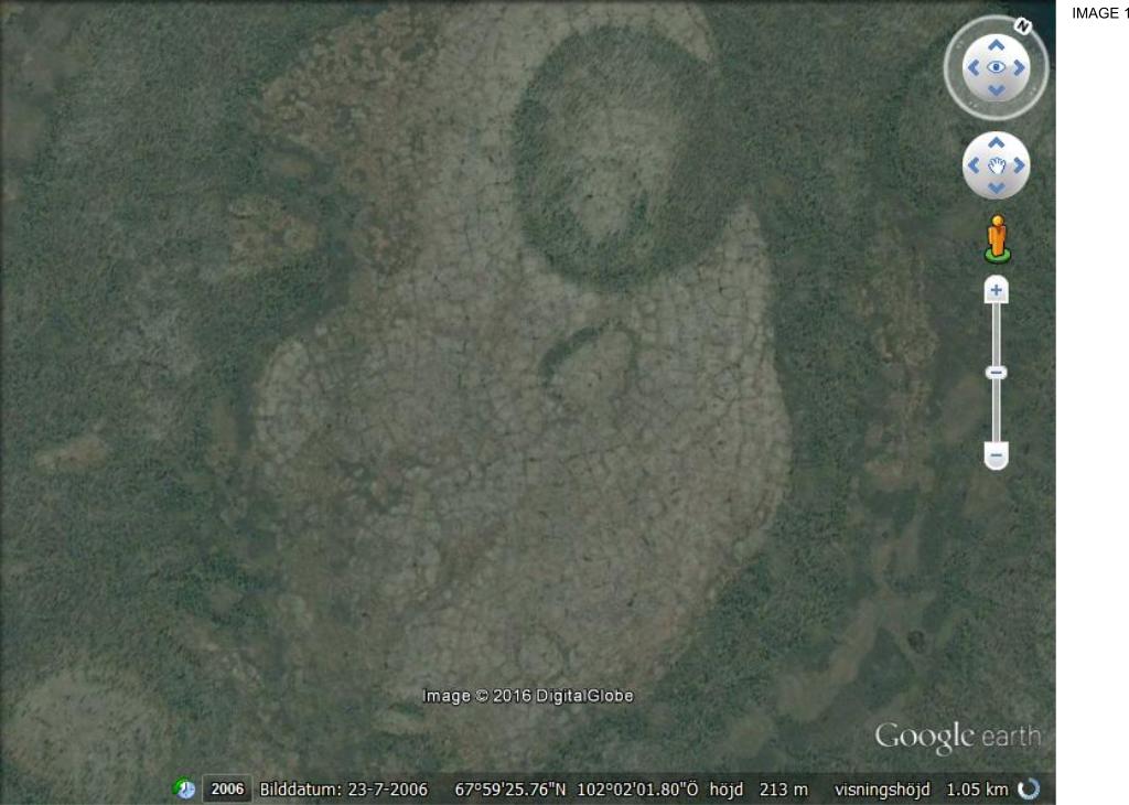
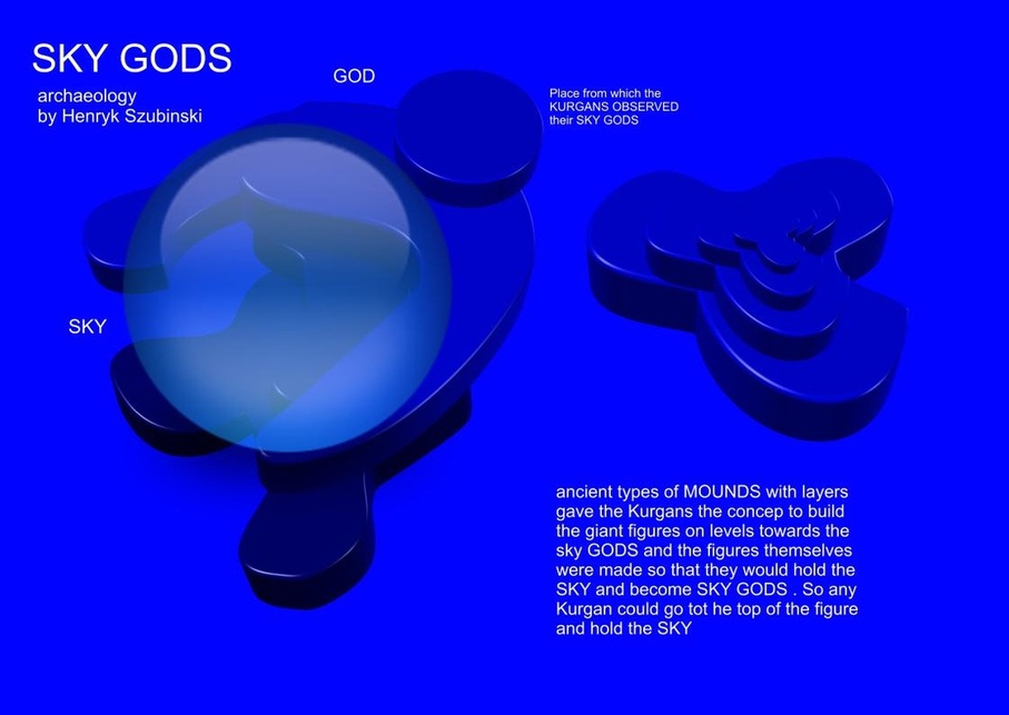
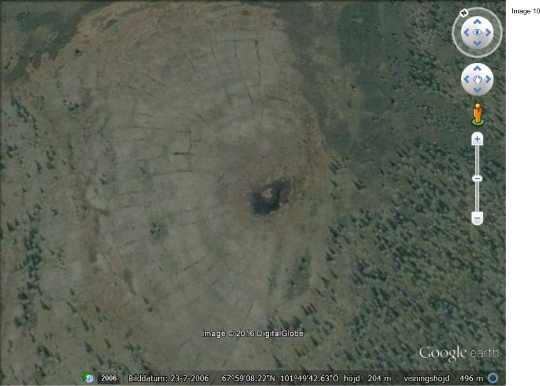
above: the shape of a person looking upwards as the TRUE SHAPE of these earliest pyramids that were not reoccupied by building symmetrical triangles but were instead preoccupied with building human body parts or whole human figures that were emant to reach upwards to the SKY GODS
SO only the SKY GODs could see this pattern of a human shape upwards with detials that are releaif structured and may include passages that take the Voyager from the foot to the head of the giant figures.
below;
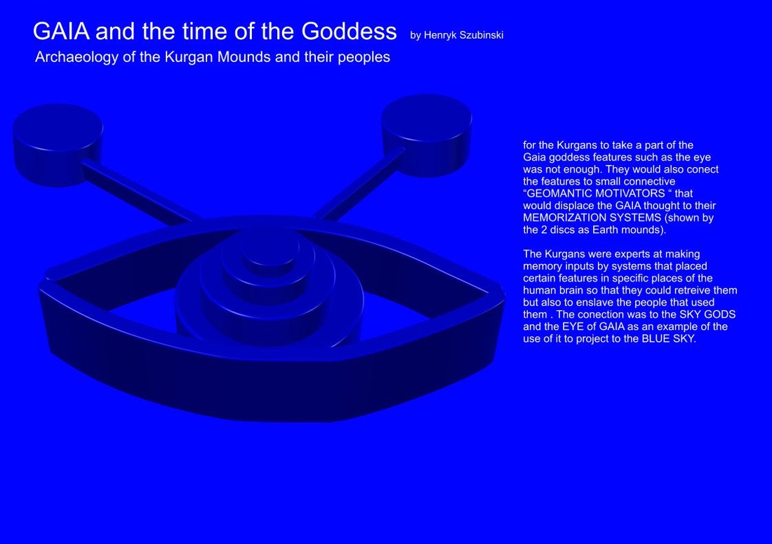
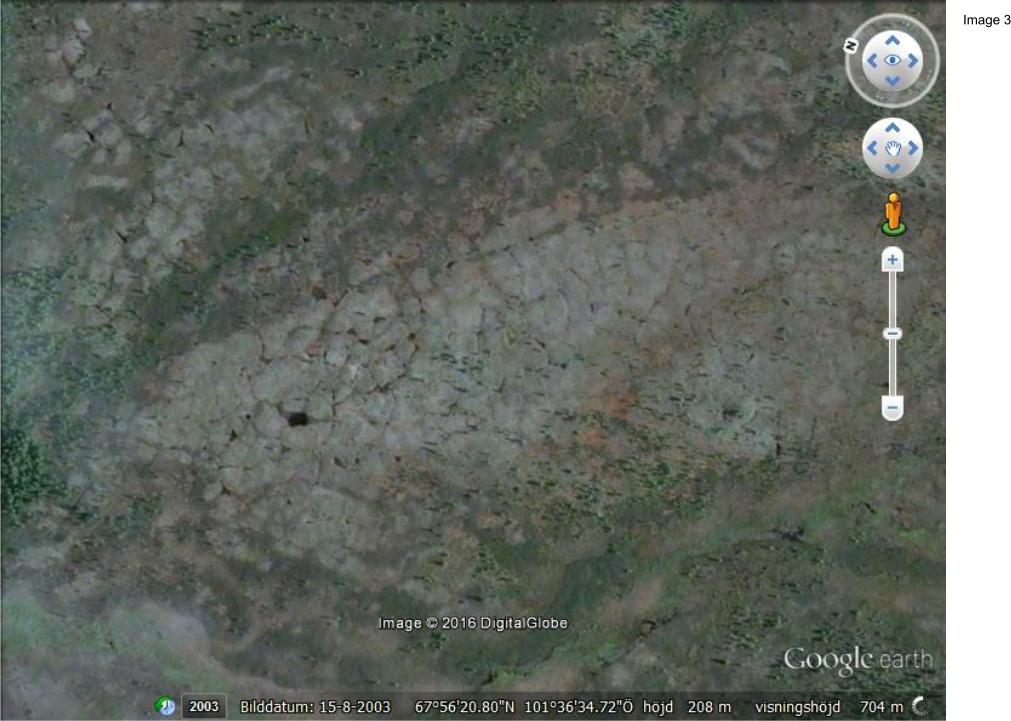
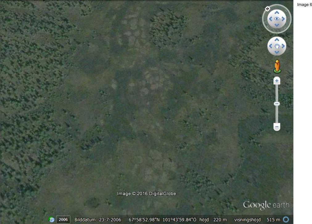
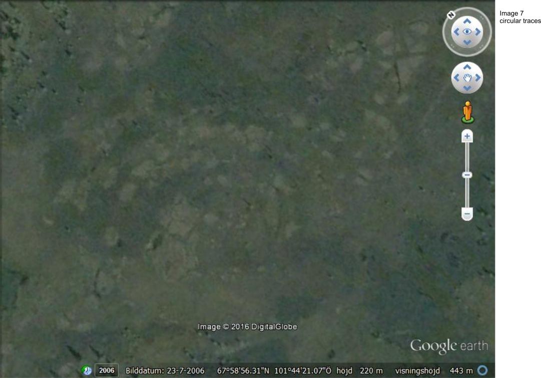
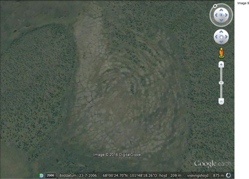
Shape of an Eye and the iris and pupilus as the obvious geomentic places of Earth memory that could be Kurgan types of earliest civilization where every part of GAIA was built as this being an example of part of this civilization and the MEEGA STRUCTURES of the shape of the GAIA EYE faceing the BLUE SKY as the function of the SKY GODS worshipped by the KURGAN tribes.
SO only the SKY GODs could see this pattern of a human shape upwards with detials that are releaif structured and may include passages that take the Voyager from the foot to the head of the giant figures.
below;
Shape of an Eye and the iris and pupilus as the obvious geomentic places of Earth memory that could be Kurgan types of earliest civilization where every part of GAIA was built as this being an example of part of this civilization and the MEEGA STRUCTURES of the shape of the GAIA EYE faceing the BLUE SKY as the function of the SKY GODS worshipped by the KURGAN tribes.
Translation of the above image of the EYE.
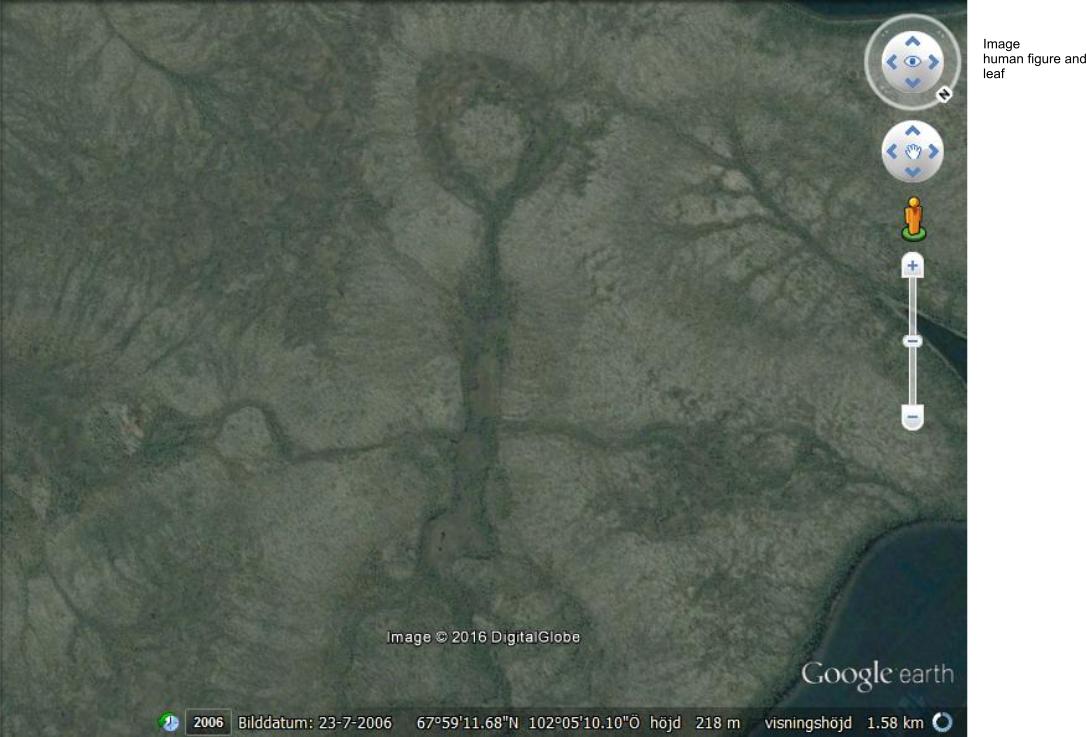
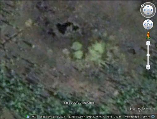
On the side of this article an interesting detail of a face that i found in the area as i started my search. Could be a Portal to this old civilization as the keeper of it having remained in the area by geological force.