BAsic astronauts run through of the visual descriptive of the observable features of Earth as seen from space.
by Henryk Szubinski
SIRIUS DISCLOSURE of Earth FEATURES.
The problems of SLOPE and cold air flow along the traces of an earlier spiral ice vector around the Southern pole (Antarctica).
The motivator of this flow and the climatic differences are the key to how temperatue regulation occured between the hot and cold zones of Earth.
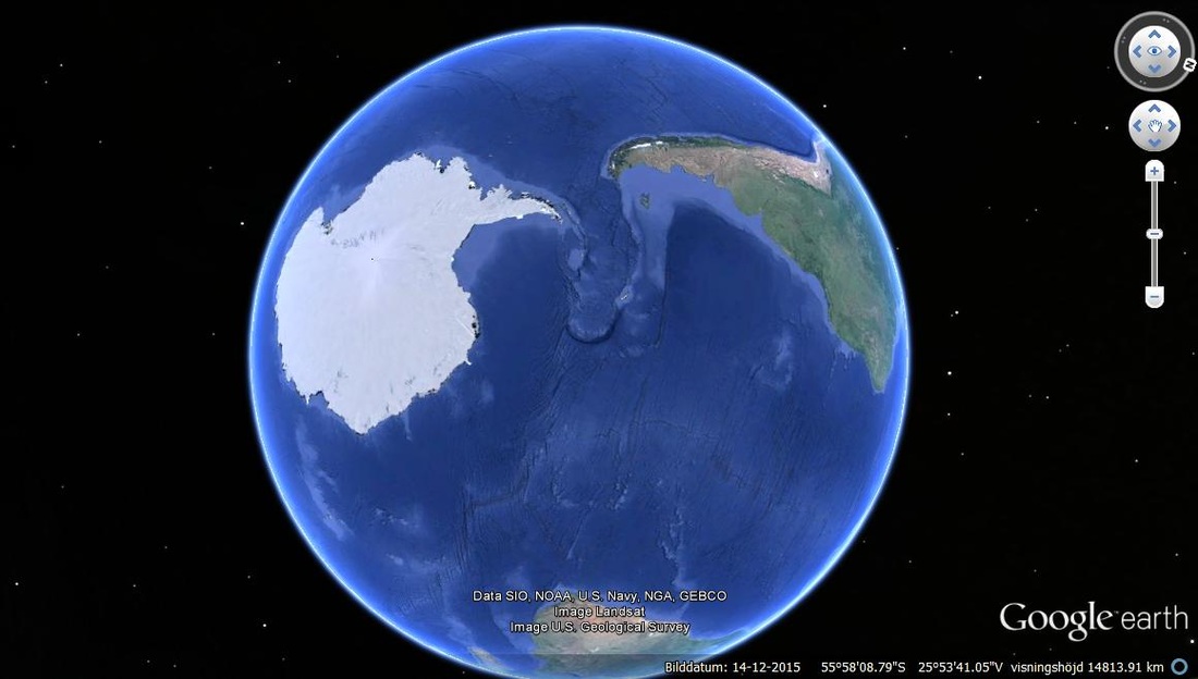
Evidence of gigantic lava events that displaces along the vector of the spiral of the South pole or Antarctica, giving the cold flow of air and water it's main momentum as the zone where there was once a very large barrier of snow and ice in relation to the southern tip of South America that followed along the spiral higher up for the continued flow of hot air. The seperation was between hot and cold.
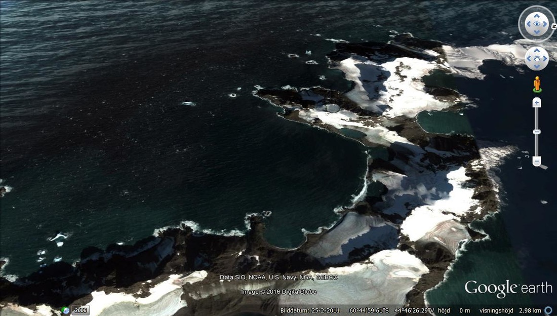
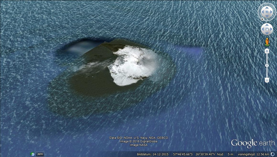
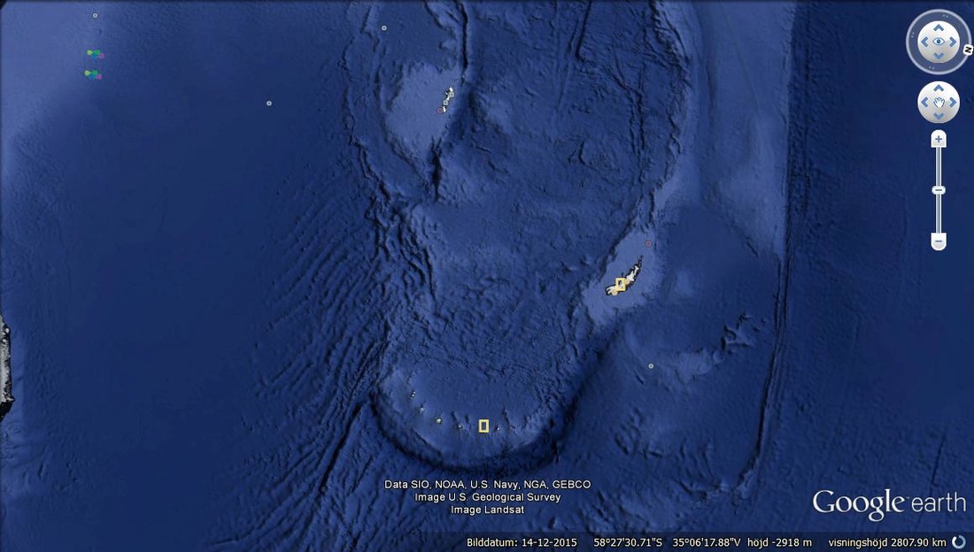
the PLASMA REMNANT may look like an ALLIGATOR HEAD (the reason that the island grouping may be defined as TEETH).
the PLASMA REMNANT may look like an ALLIGATOR HEAD (the reason that the island grouping may be defined as TEETH).
7 major islands on the tip of the lava flow. Indicate that there are several stages of flow of cold air that has been reduced due to the melting of ice.The effects will define how the barrier of cold and hot once functioned,
hot and cold sides on one of the islands.

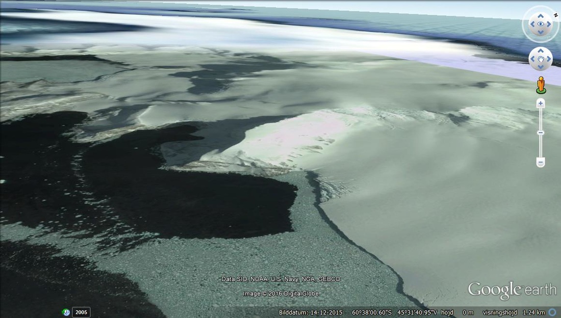
Flow of cold air along the spiral that setteles as snow developed by the cold spiral air that shows that the side with snow faces the spiral vector and the cold air in the opposite direction.
A strong freeze point but one that is being heated and the ice is melting along the coast line. MEaning that the closer to the center or closer to the edges of the BIG LAVA DROP, the freeze is stronger due to the TEETH of LAVA SOLIDITY.
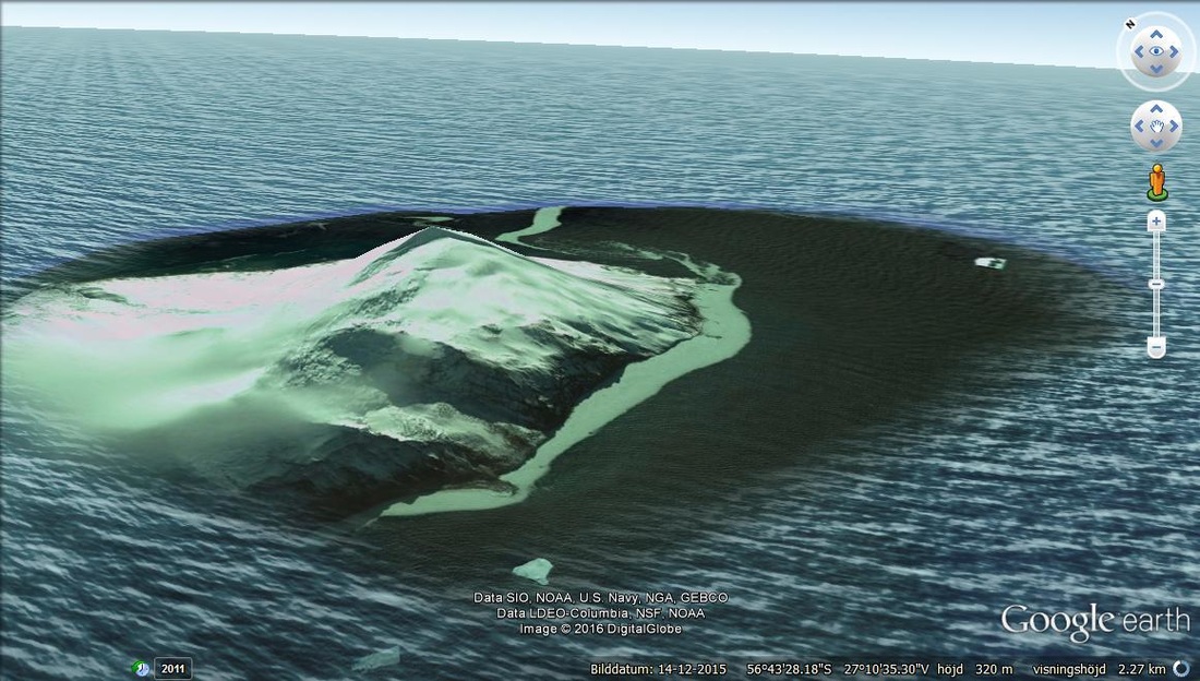
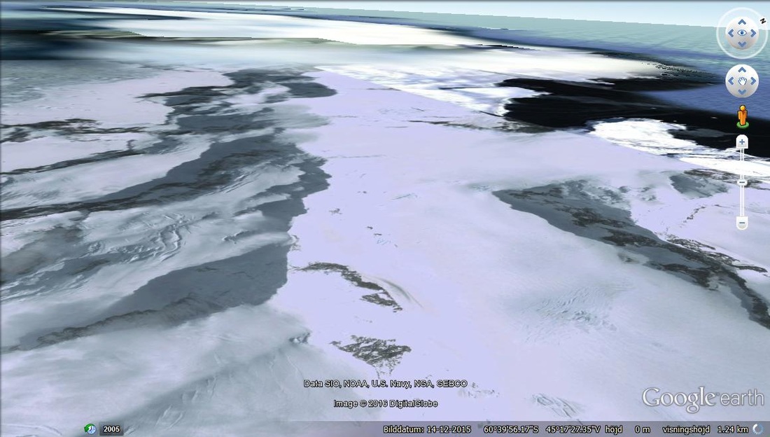
CLOSER to the warmer side of the spiral, the effect is total melting of snow and some residue clouds that keep on isolating the cold peak.
This is probably what happened to the larger islands or will happen at some time if the heating by artificial means and pollution continue.
This is probably what happened to the larger islands or will happen at some time if the heating by artificial means and pollution continue.
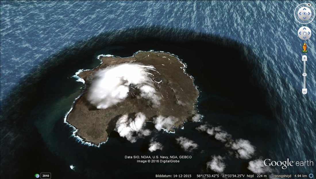
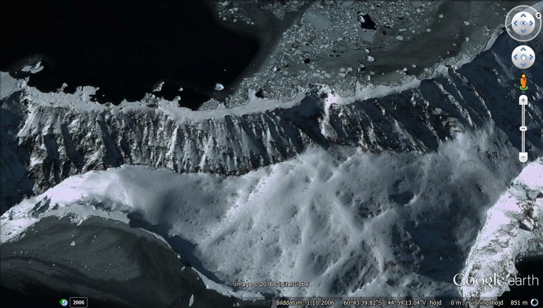
Another of the Islands that has developed breaking of the ice surface into smaller fragments of ice but which seem to drop into the ocean. The drop is due to the weight of the ice . Meaning that it has silt or dust in it developed from pollution and the color is of a greener hue. This shows a unhealthy color.
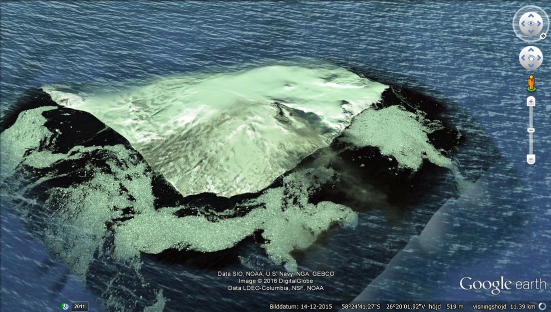
The Larger islands to the left upper and right lower are the PORTALS of the ICE and HEAT flow vectors flowing between them.
Starting from the northern section of the left side ISLAND ,the color is of a grayish hue . This is not so noticable and you probebly wouldnt notice it. But the next images show how the hue increases in unhealthyness in sections that move up the hue scale and then down again , downwards to the south of the island.
Snow appears to be healthy though very thin.
But the following part of the island shows degradation of the solid surface that once was the scelleton for the spiral of snow and ice. The function was to keeep the snow and ice from displaceing too far into the remaining spiral tendons.So that the gradual slope was in change from Antarctical core to the spiral at about 10 meters per degree of spiral rotation in either direction of the cold flow and hot flow meaning it was wavy.
With the mountain range almost gone, the remaining solid surfaces are fragmented and the water appears to be warmer with the color of it in the green hue spectra.Probably the effect of the unhelthy greeen looking snow higher up on the nothern end of the island.