Earth and some unknowns
by Henryk Szubinski
Lots of images for you to see some features that I've been observing. The basic names of the locations are not strictly defined because you may see at the edge of the images ,each place and position when you input the coordinates on any search for locations on Earth by longitude and latitude.
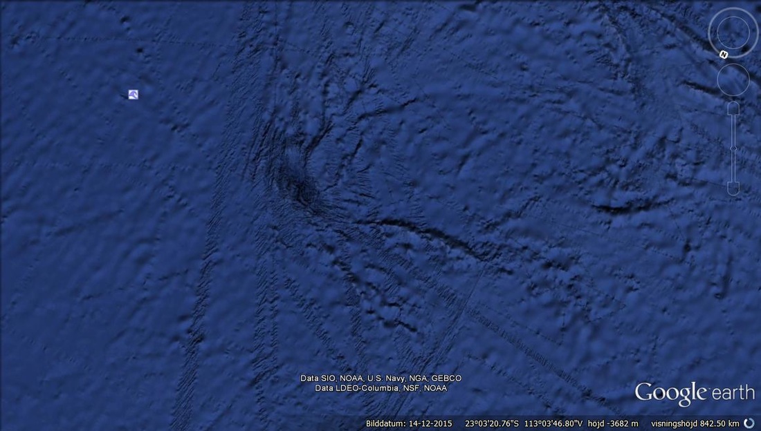
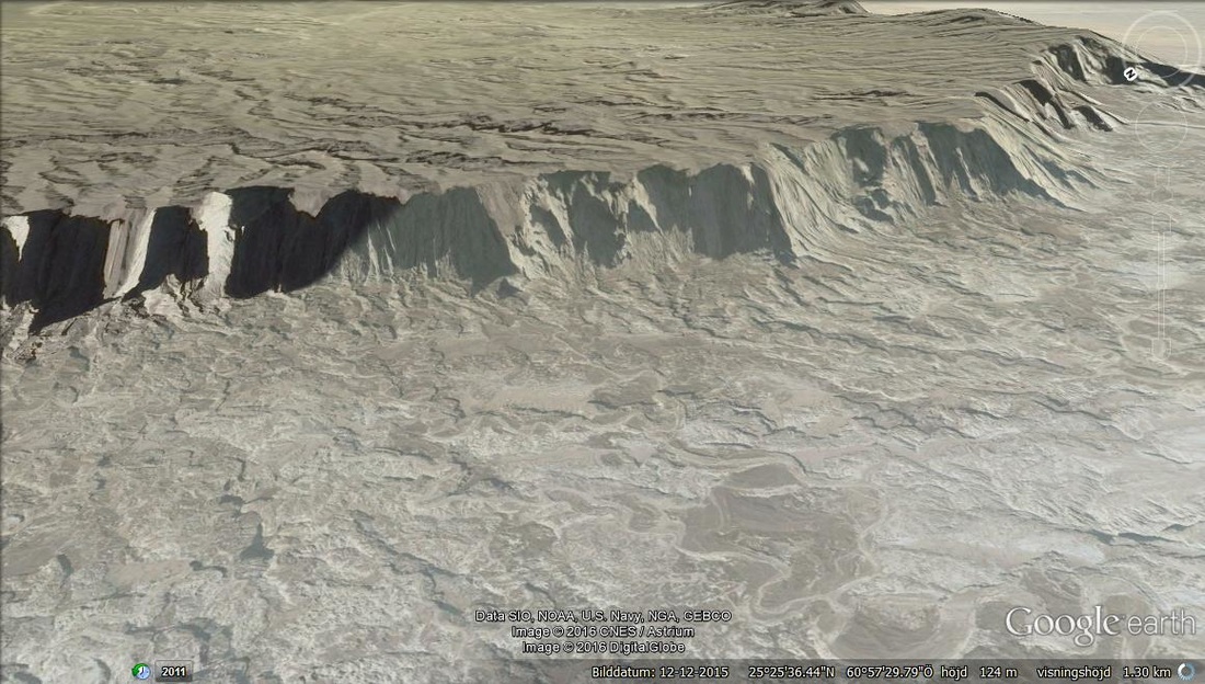
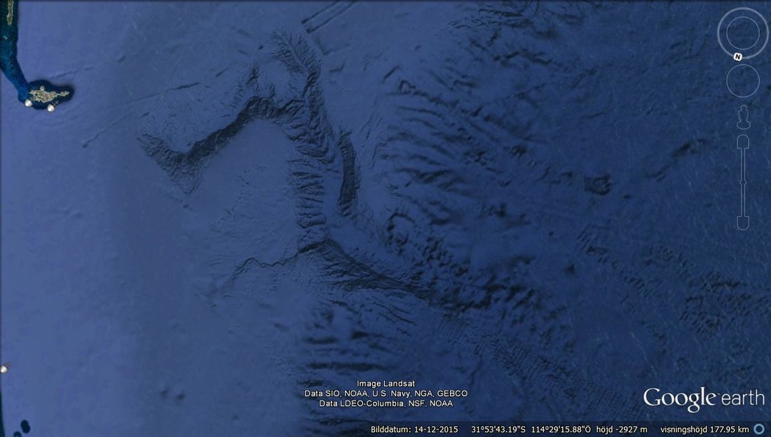
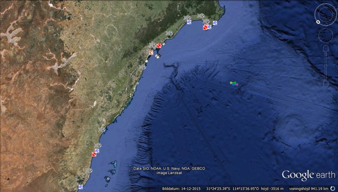
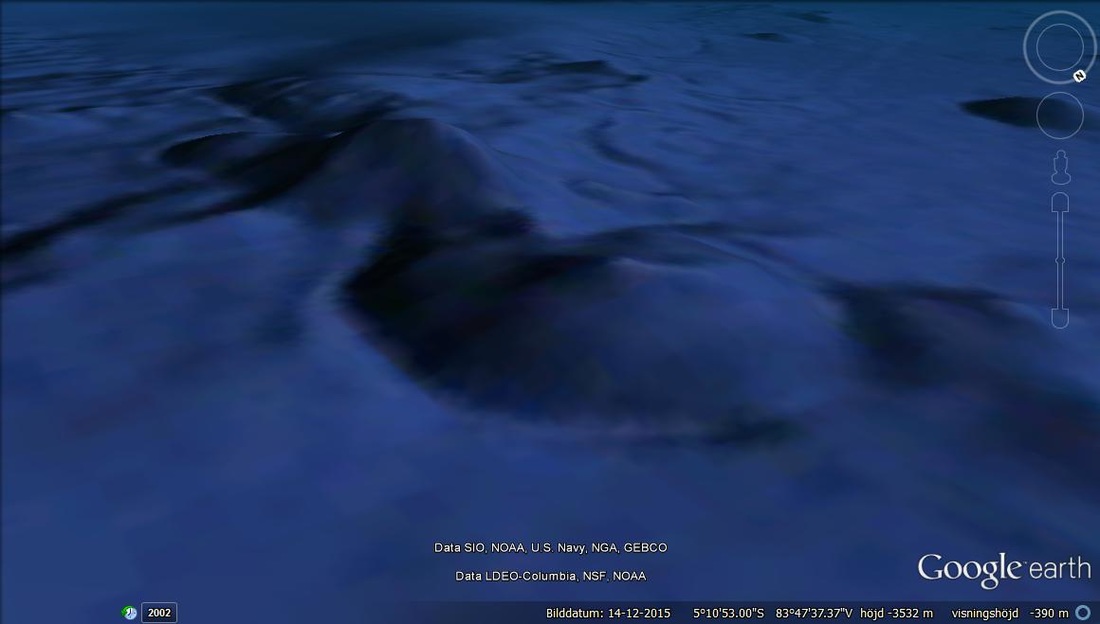
Just as the Alps in Europe these formations define an old mountain system underwater.
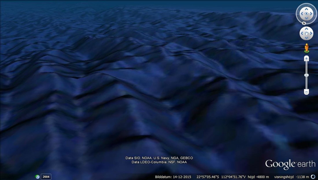
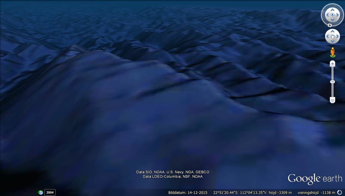
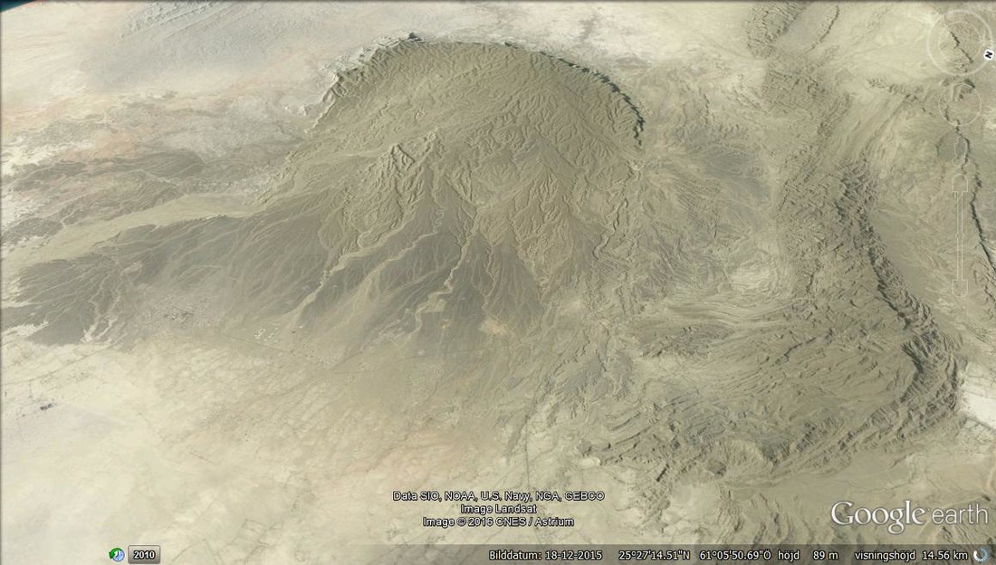
Visable basin of the muntain range.
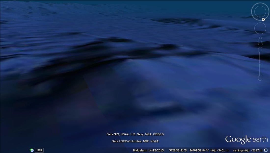
¨You dont see many of these formations of the ocean lines curving to the left as where the UNDERWATER MOUNTAIN RANGE is located. Basically because the combined weight must have been larger or equal to some Earth shift in rotation and the buoyancy of water being equal to the weight of the Inertial effect between buoyancy and weight.
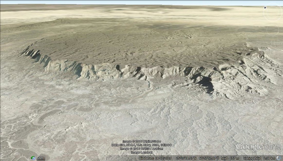
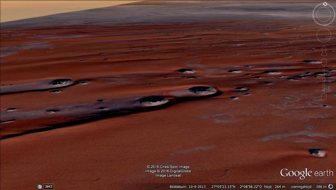
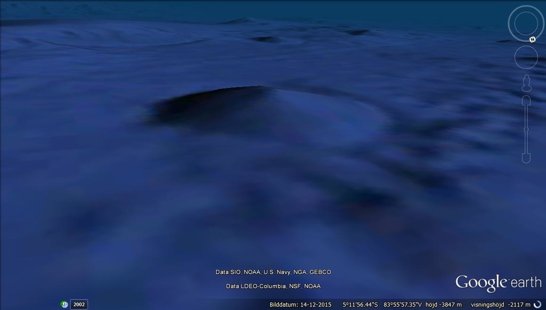
Very old crater of a comet impact in Africa.
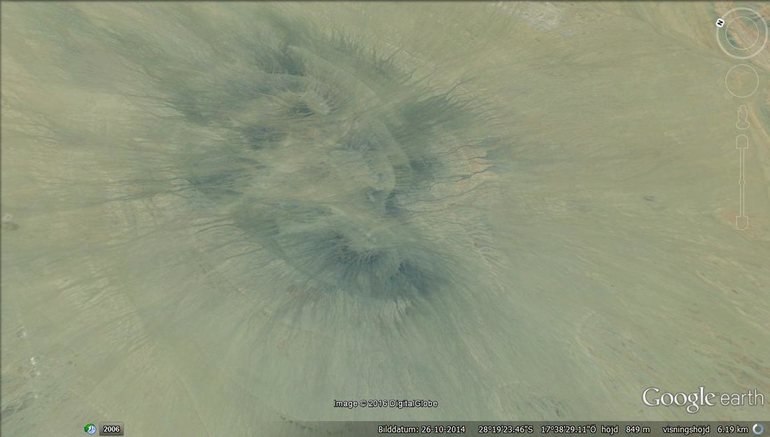
The comets forwards pushing by friction created this V tail of enormous pressure ( The crater position is in the center of this V shape).
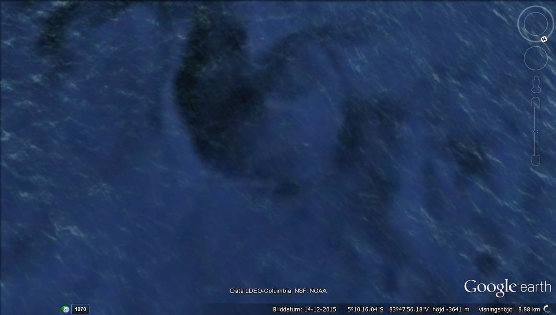
Deep underwater rangles makes it easier for Earth to circulate oxygen when the night side has a chance to breathe by Oxygen regulations. This defines the O2 regulation as on the day side in pockets of cool shadow water.
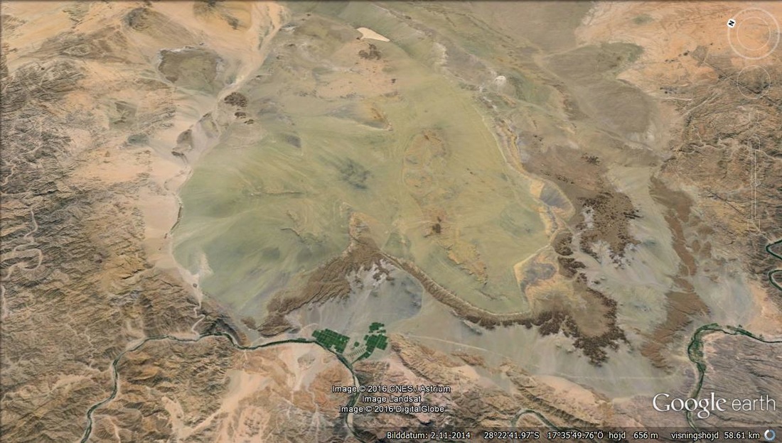
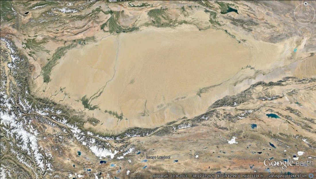
You might visualise this as the Northern tip of Egypt . The fact that the whole coastline is gone means that this was the ocean water level long ago. The extra 10 or 20 meters height would have been the influence of the coastline and it's waves. Might have been very large waves that broke trough the coastline and had enough inertia to create the river delta systems on top of it that continue down the sloap of the whole plateau.
Plateau from above.
Very high coastline meant that the ocean waves were very large.
Blue zone surrounded by no other blue indicator other than the dormant small depressions shown after.
Depressions in the Earth like this may have been like the isolated blue zone.
The larger view shows that the blue zones were once in a large EYE SHAPE.
When you follow 3 or more lines to their convergance, details like this are very important. This looks like a LIZARD and is the convergance of the ocean floor erosion from a larger section.
You may observe the convergance of the lines here towards the LIZARD.
The upper section stripp shows the divergance of the ocean floor lines outwards.
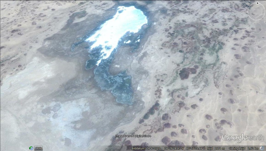
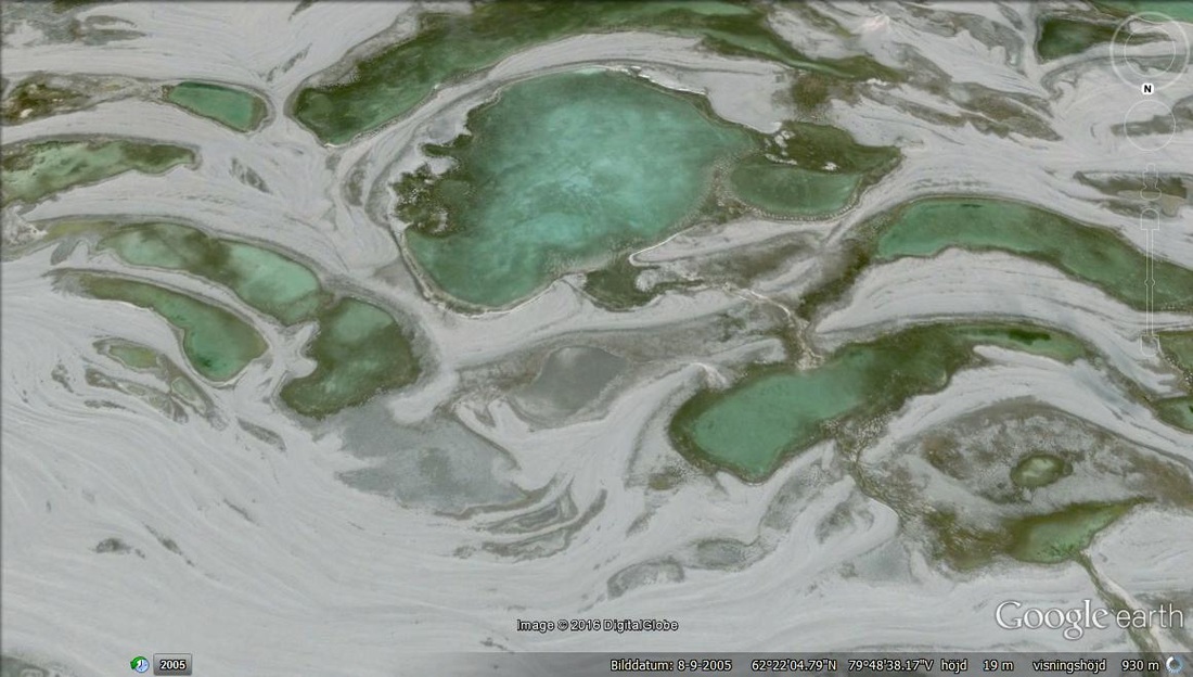
Green water in the northern polar regions.
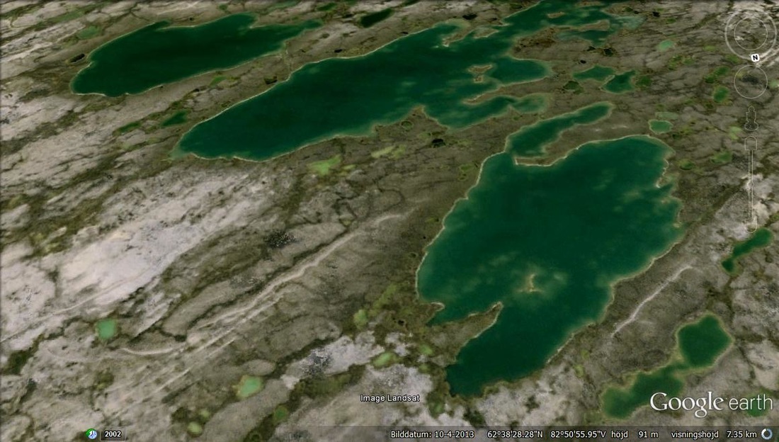
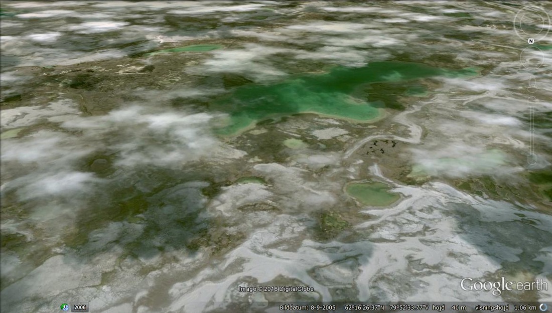
Basic ice covered small green water cells that must be very tempting to drink from.
The convergance of the small islands were once a pon a time, the center of the north pole and had many GREEN water cells of frozen BIO ENERGY.
Mountains that upon closer inspection show Basalt.
Basically scratching the surface, there is dark rock everywhere (basalt).
The same region as the Basalt has Mitochondria looking mountains, and a geological shelfs like the Mayan irrigation systems and much of Terrancing as well as DYKES of solidified lavae that appears to be in the shape of rivers.Perhaps this was the first mountain chemistry with the basalt having melted and cooled billions of years ago (Basalt is very hard).
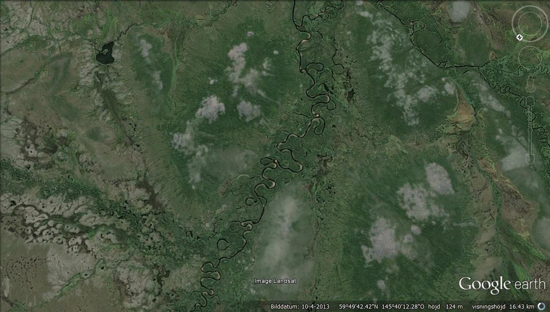
River system East of Chinas mainland showing Amazon type river motion.
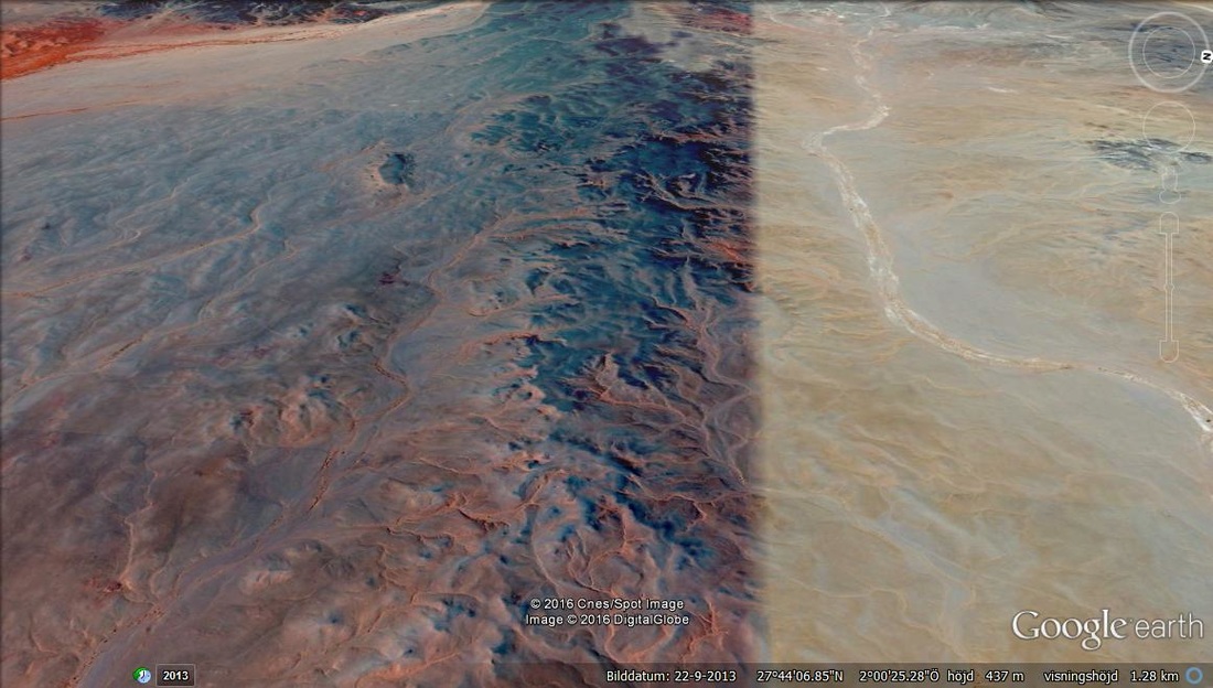
African region showing blue minarals.
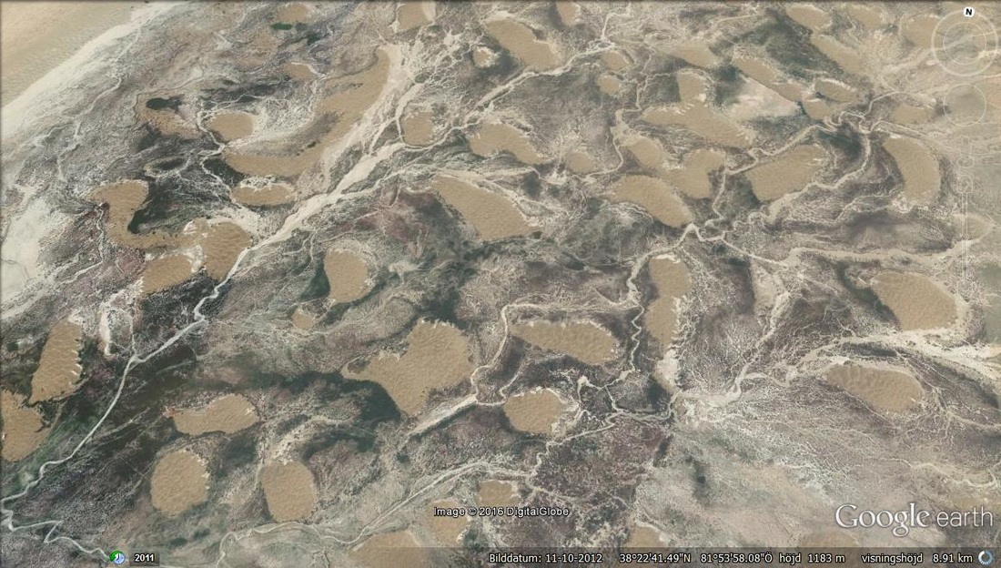
On a INDIANA JONES Mention. The dunes converge at some position above where there may be hidden treasure.
The dune lines converge at these small round features in the sand.
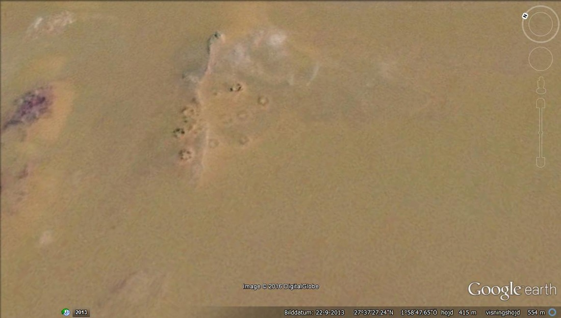
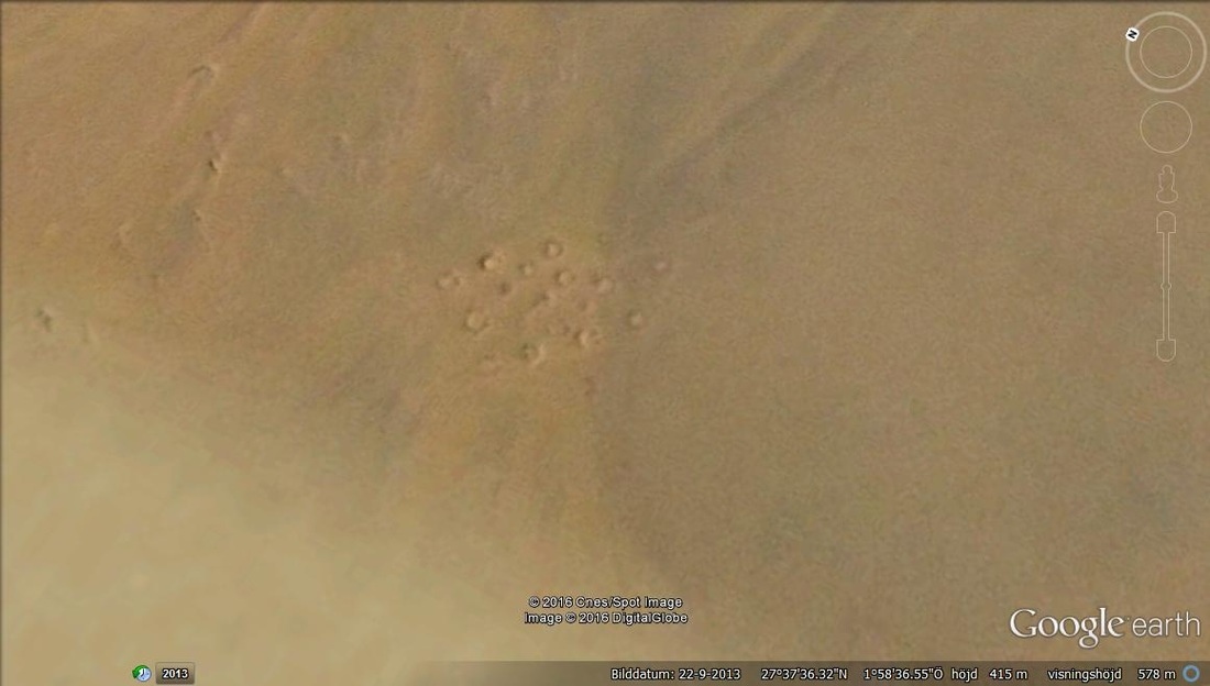
Not some distance from the small features we find the same shapes but spreading over the red rock that might be some oxide type. The oxide has O2 generated from strong winds that may be observed as the tails behind them. So there must have been some very strong climatic change of very powerfull winds moving from right to left. Whatever was inside these small wind craters, could be crystalised dark rock that fragemented when the wind strength reached it's limit.
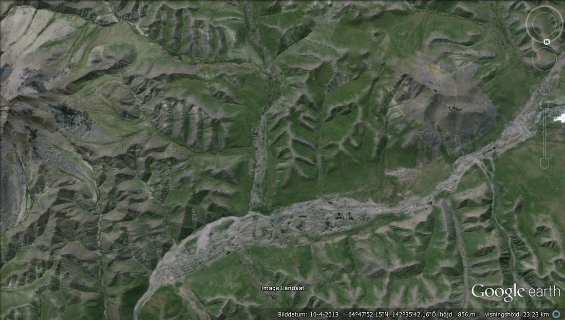
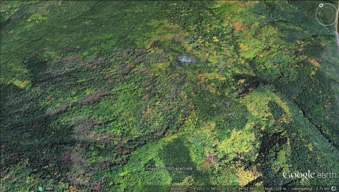
You dont notice the fact that AUTUMN is visable from space while half the planet is in the orange and yellow spectra of the many forests for a quater of the Year.
In case these areas are isolated case nr 1 of the special variations of the forrest type, the relation to the peoples that were there a longtime ago could be the STEPPES peoples that were pre relatives of the MONGOLIANS.The ancient methods of trakking would be very easy to get the most out of by the change in spectra that remains long ago in the earliest man at the time of the cave men and their sperated seasonal change. This region has some snow areas ,so this 4 seasonal center could be what the Goddess traditions of ancient Europe defined as the KURGAN mind set that the Kurgans used for the seperations of zones with their color spectra that made it easy to categorise their cognition as 4 x faster (that the seasonal change vegetation was already there ) , than humans in Europe.
In case these areas are isolated case nr 1 of the special variations of the forrest type, the relation to the peoples that were there a longtime ago could be the STEPPES peoples that were pre relatives of the MONGOLIANS.The ancient methods of trakking would be very easy to get the most out of by the change in spectra that remains long ago in the earliest man at the time of the cave men and their sperated seasonal change. This region has some snow areas ,so this 4 seasonal center could be what the Goddess traditions of ancient Europe defined as the KURGAN mind set that the Kurgans used for the seperations of zones with their color spectra that made it easy to categorise their cognition as 4 x faster (that the seasonal change vegetation was already there ) , than humans in Europe.
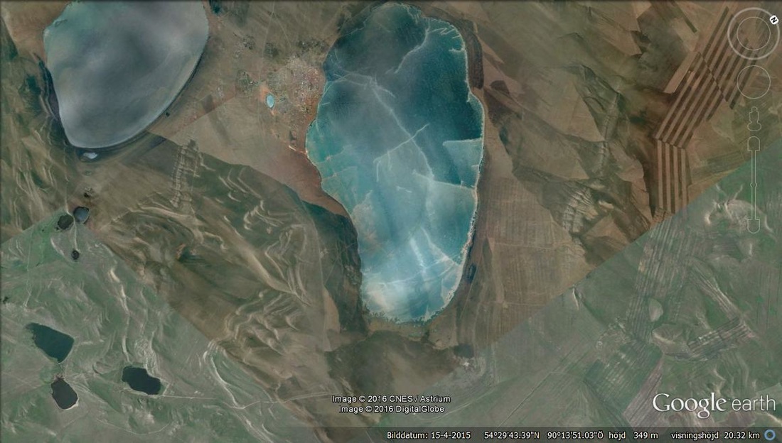
Not so far away from the Autmn forrest there may be observed a lake with the main flake off at the left side of the lake and cracks in the ice surface as radial from some center as the basics of the example of a person on the ice knowing where to walk to get to the solid ground. When oceans were covered by ice in the glacial ages, many cavemen must have though it very important to follow these vectors to get to safety.
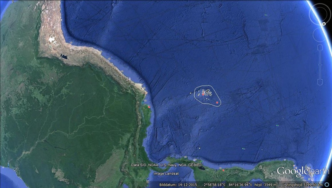
In relation to mayan civilization at the edge of COSTA RICA (sounth America ) I located some OCEAN NIPPLES that may support the REFERENCE to creation myths as being in their NOW time, meaning they were living what was already created. Myths of creation had ended and the age of that which was created was lived with. That was just a bit of theoretical guessing related to the subject of the NIPPLE SHAPES. However i do think that GEOLOGICAL ENERGY may be emotional and sides by side with SHAMAN use of substances that enhance the percetion of nature.
Ocean nipples seen from above.
Outcroppings of 5 or 6 such formations.
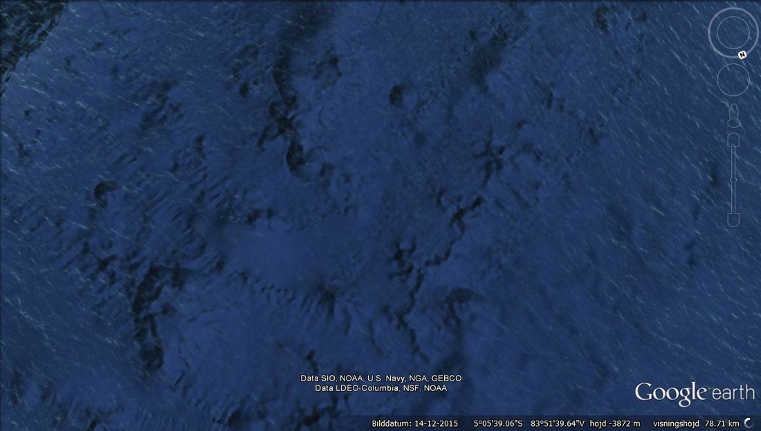
The Ocean NIPPLES are observed in the center of the above image to the right of the South Amercan continent of the shore of costa rica. Many large ROCK spheres have been recorded in these regions and may be related to Early particle physics that the Mayan pioneered. (the suggestion is that the spheres were early mayan experiments of particle physics.