NEW BLUE ZONE
HAWAII
by Henryk Szubinski
Theory presented here goes a bit like this. Blue zones are special because they are larger or more detailed PIXELS related to human
visual observation. The Pixels theory is the way to help you relate while being in the know about the TELOMERA as the immortal cells
that ,according to my theory ,at least, explains the human intelligence in our bodies that enhances the visual sense by the clarity or
healthy energy of the blueness of blue zones.I will then use images of blue zones around the new BLUE ZONE of HAWAII to help you
relate to this theory of PIXEL differences.
In digital imaging, a pixel, pel,[1] dots or picture element[2] is a physical point in a raster image, or the smallest addressable element in an all points addressabledisplay device; so it is the smallest controllable element of a picture represented on the screen. The address of a pixel corresponds to its physical coordinates. LCDpixels are manufactured in a two-dimensional grid, and are often represented using dots or squares, but CRT pixels correspond to their timing mechanisms and sweep rates.
Each pixel is a sample of an original image; more samples typically provide more accurate representations of the original. The intensity of each pixel is variable. Incolor image systems, a color is typically represented by three or four component intensities such as red, green, and blue, or cyan, magenta, yellow, and black.
In some contexts (such as descriptions of camera sensors), the term pixel is used to refer to a single scalar element of a multi-component representation (more precisely called a photosite in the camera sensor context, although the neologism sensel is sometimes used to describe the elements of a digital camera's sensor),[3]while in others the term may refer to the entire set of such component intensities for a spatial position. In color systems that use chroma subsampling, the multi-component concept of a pixel can become difficult to apply, since the intensity measures for the different color components correspond to different spatial areas in such a representation.
Vector graphics is the use of polygons to represent images in computer graphics. Vector graphics are based on vectors, which lead through locations called control points or nodes. Each of these points has a definite position on the x and y axes of the work plane and determines the direction of the path; further, each path may be assigned various attributes, including such values as stroke color, shape, curve, thickness, and fill.[1][2]
Monitors do not have dots, but do have pixels. The closely related concept for monitors and images is pixels per inch or PPI.
Old CRT type video displays were almost universally rated in dot pitch, which refers to the spacing between the sub-pixel red, green and blue dots which made up the pixels themselves. Monitor manufacturers used the term "dot trio pitch", the measurement of the distance between the centers of adjacent groups of three dots/rectangles/squares on the CRT screen. Monitors commonly used dot pitches of 0.39, 0.33, 0.32, 0.29, 0.27, 0.25, or 0.22 millimetres [mm] (0.0087 in).
LCD monitors have a trio of sub pixels, which are more easily measured.
image of TELEMERA as the pixel head that displaces along the STRINGS and enhances the visual sense perception.

Many early and ancient civilizations , Alexandria , Athens would have ports that kept in the blue zone. This was the knowledge of civilization and the greatest acheivements of human kind and their stories are about the myths of nature, water and the elements. Many places went forgotten such as Atlantis, Mu that had great blue zones as places for
regeneration of natural energy and human health. .
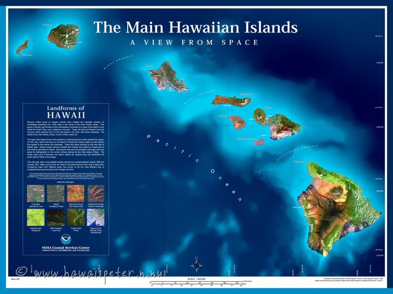
The current known zones are
1) Ikaria
2) Sardinia
3) Okinawa
4) LIsa Lomma California
5) Costa Rica
6) recent previous to next
7) Hawaii
There are probably thousands of such zones that exist where there are few or no human presence.
So not many would know about them. Only recently human to human contact occurred most recently
in the 1980's and 1990's between explorers and Papa New Guniea that probably also has blue zones.
Places like Mezzo America and the Mayan blue zones were discovered by Columbus in the the 14 00's
such as the BAHAMAS (I will show the blue zones there as well).
regeneration of natural energy and human health. .
The current known zones are
1) Ikaria
2) Sardinia
3) Okinawa
4) LIsa Lomma California
5) Costa Rica
6) recent previous to next
7) Hawaii
There are probably thousands of such zones that exist where there are few or no human presence.
So not many would know about them. Only recently human to human contact occurred most recently
in the 1980's and 1990's between explorers and Papa New Guniea that probably also has blue zones.
Places like Mezzo America and the Mayan blue zones were discovered by Columbus in the the 14 00's
such as the BAHAMAS (I will show the blue zones there as well).
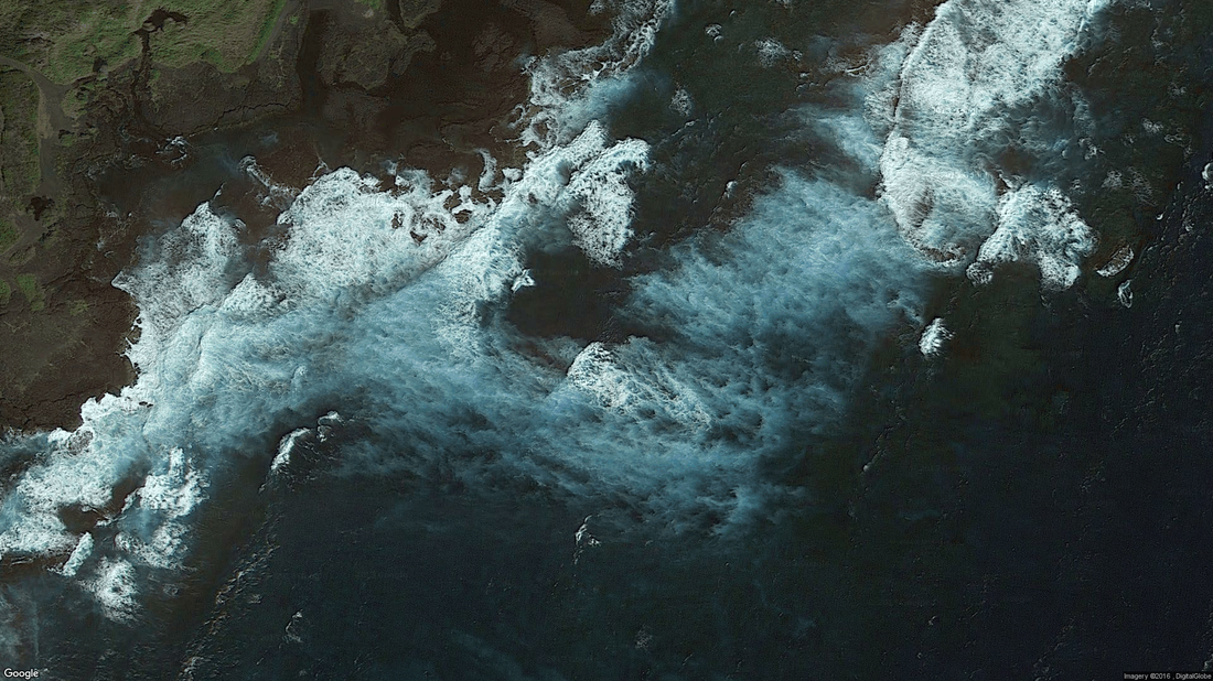
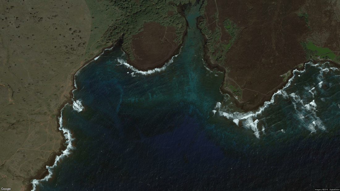
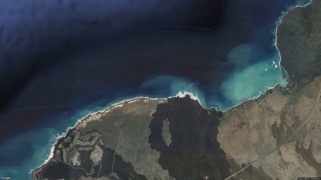
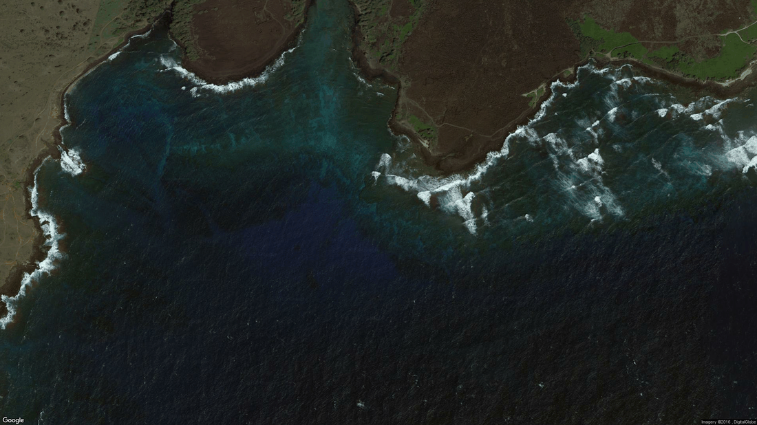
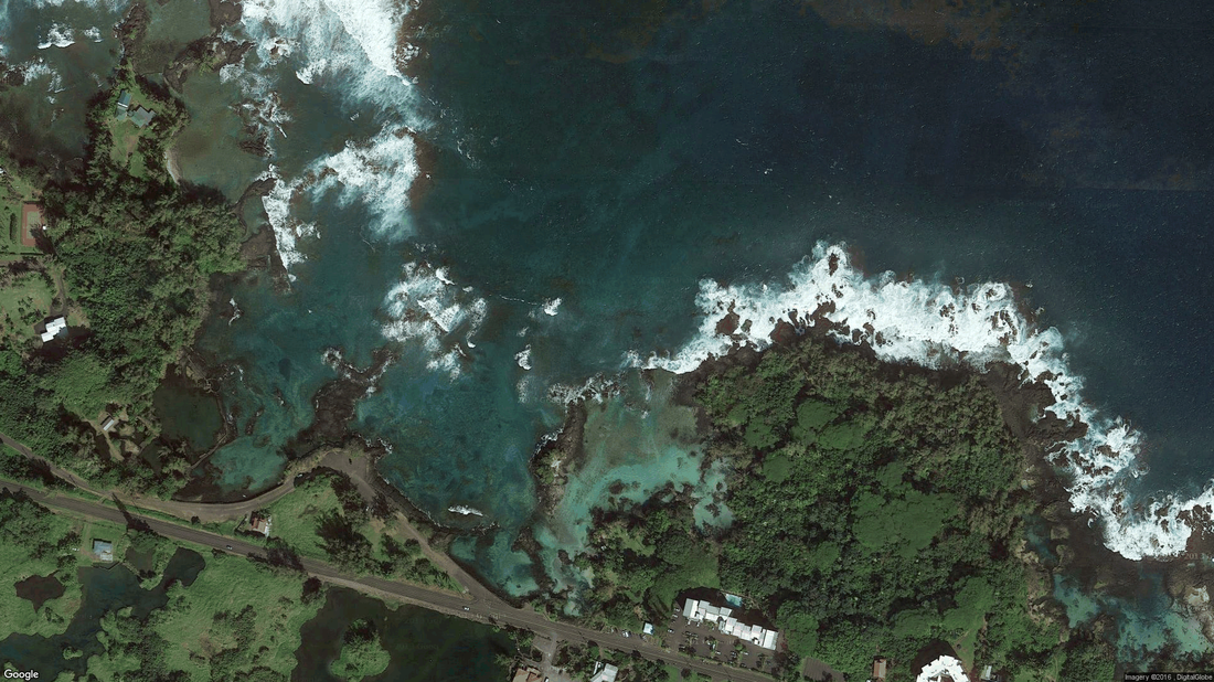
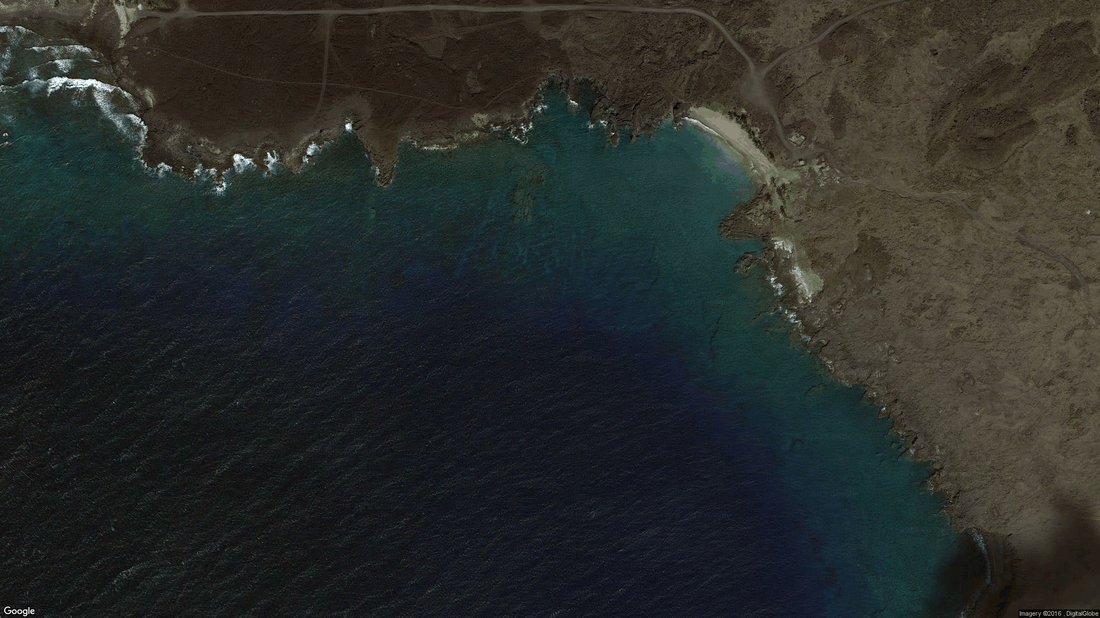
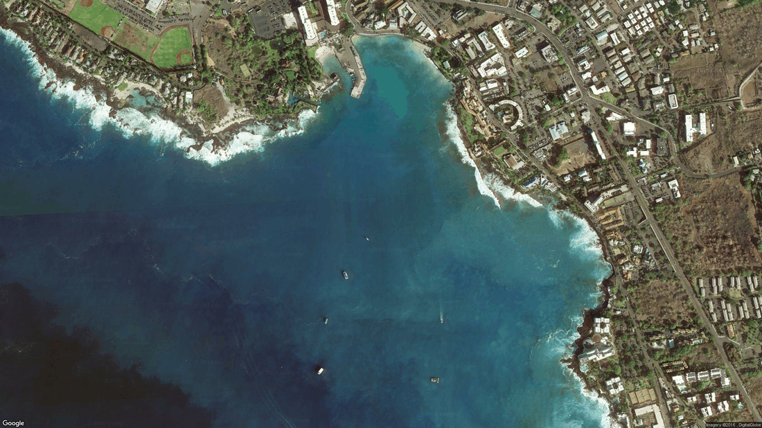
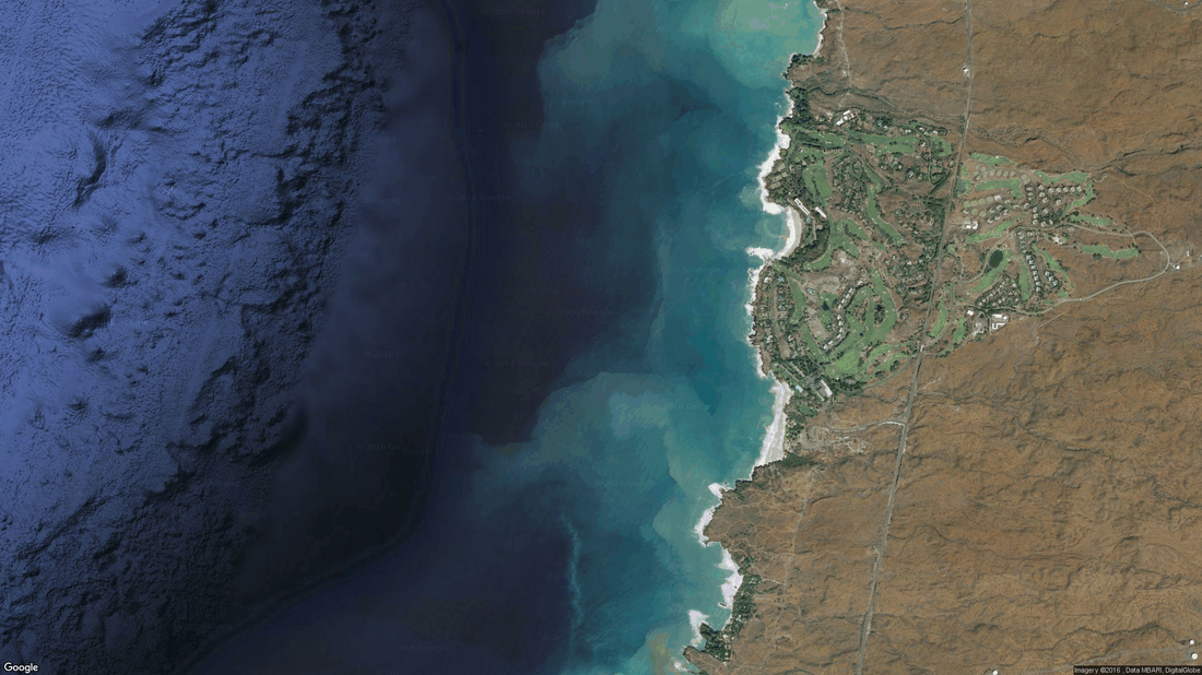
The images of the blue zones that follow are made from the lower Hawaii island at the south.
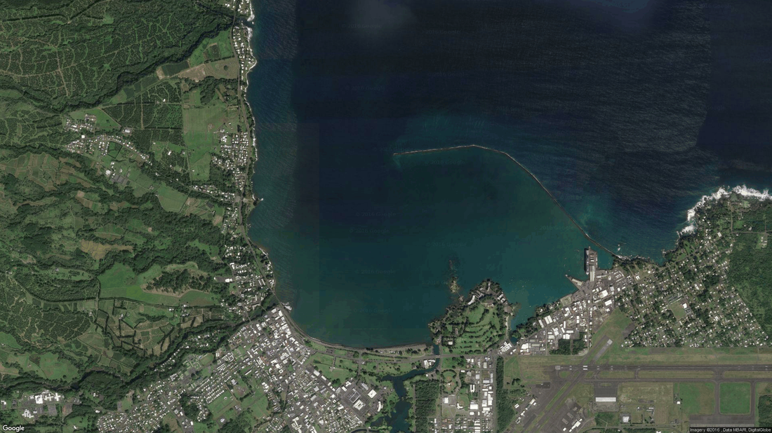
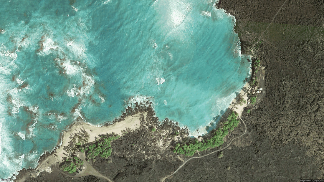
Circular waves and their spread outwards and inwards by wave motion and wind.
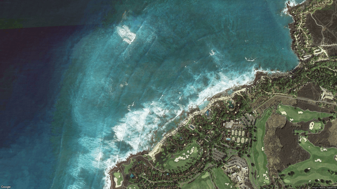
Most waves on the ocean that approaches the rocks will wash underneath the ocean surface where they dissolve the oxygen in the water.