Some of the angles of our world that most have not seen other than from space.
To widen our sense of the Earth, these are the special angles to observe the Earth with.
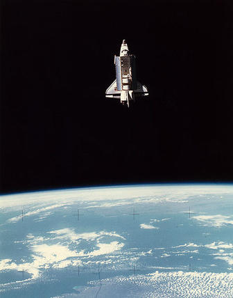
Also. When the space shuttle was still functioning , the films from it were sometimes of the type where "you have to guess " where it is and then a couple of seconds later you go , "Yes I know where that is."
The facts of the "keep you guessing", was related to positions made from the start that you have not seen as, or imagined ,would be, those angles that most people have not seen the Earth from.
by Henryk Szubinski
Here are some such angles of observing Earth from those new positions , from Google Earth..
Each place seen from different angles is related tot he special view that anyone who lives
there would recognize but it is also the view that most people do not share as their own.
So for the most part to recognize this difference is the view of the astronaut from that place
and the way that many astronauts are made.
To widen our sense of the Earth, these are the special angles to observe the Earth with.
Also. When the space shuttle was still functioning , the films from it were sometimes of the type where "you have to guess " where it is and then a couple of seconds later you go , "Yes I know where that is."
The facts of the "keep you guessing", was related to positions made from the start that you have not seen as, or imagined ,would be, those angles that most people have not seen the Earth from.
by Henryk Szubinski
Here are some such angles of observing Earth from those new positions , from Google Earth..
Each place seen from different angles is related tot he special view that anyone who lives
there would recognize but it is also the view that most people do not share as their own.
So for the most part to recognize this difference is the view of the astronaut from that place
and the way that many astronauts are made.
I'm currently on the MARS INSIGHT mission as one of the many names on a chip that are to explore the GEOLOGICAL INNER CORE of MARS.
Here follows the images related to "special views" of Earth.
Here follows the images related to "special views" of Earth.
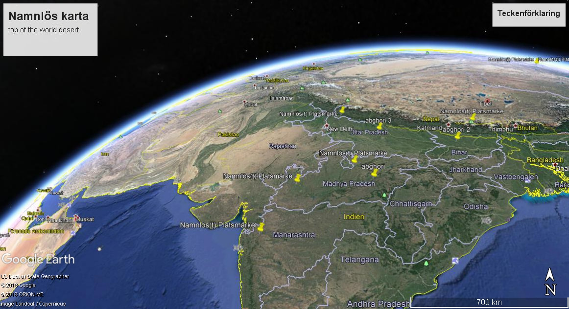
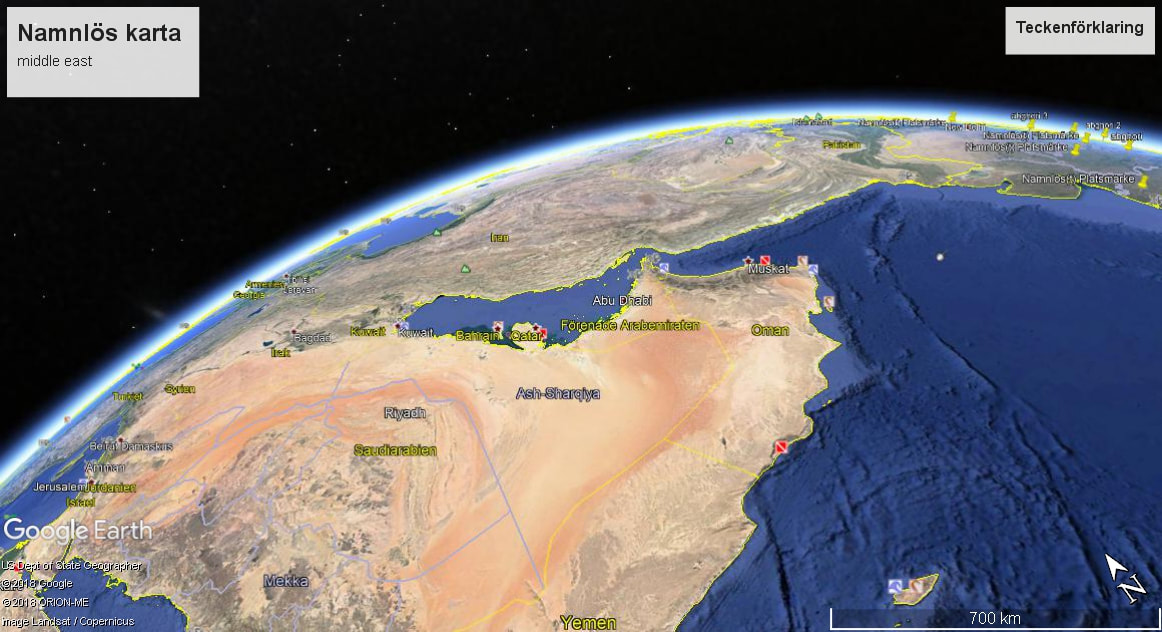
INDIA and the Northern Himalaya with the large desert and the MIDDLE EAST.
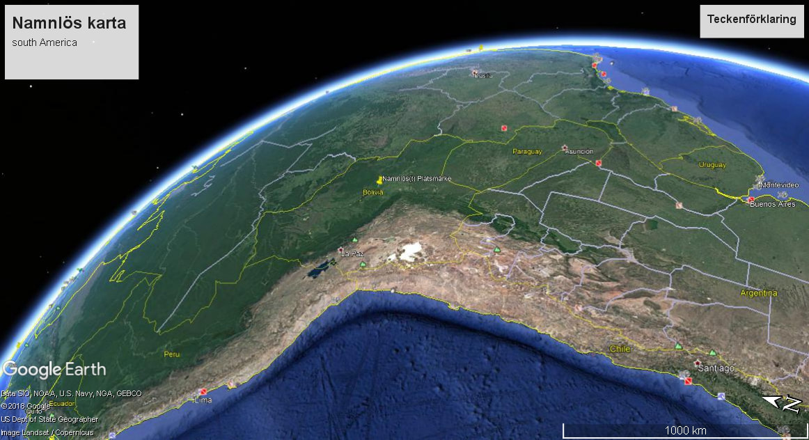
South AMERICA.
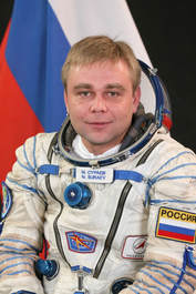
MAX SURAEV: Russian astronaut.
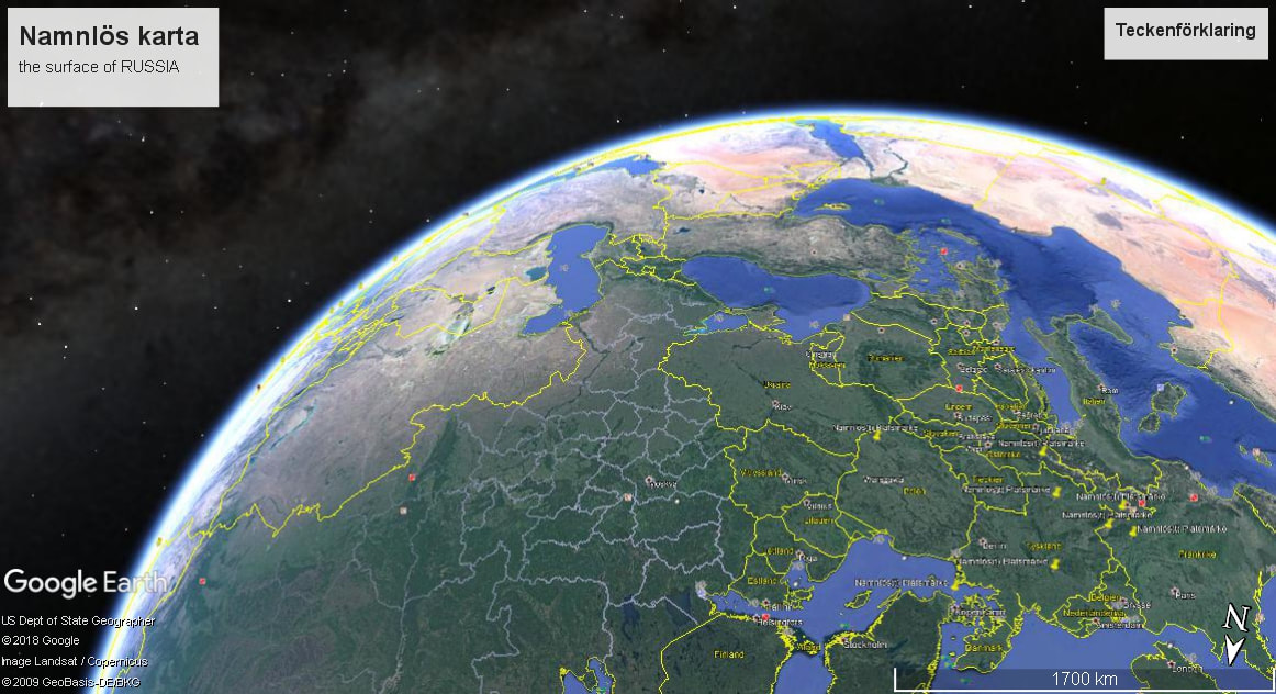
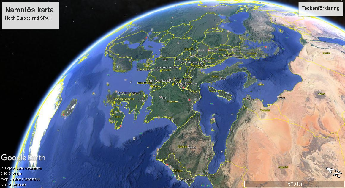
Europe and northern Europe together with the Russian plains.
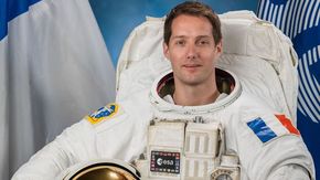
European astronaut:Thomas Pesquet.
Greenland to the West with Europe's mainland and the Northern African continent.
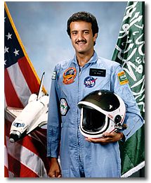
Sultan bin Salman Al Saud, the first Arab and Muslim to fly in outer space.
Middle East as 2 centers of desert areas.
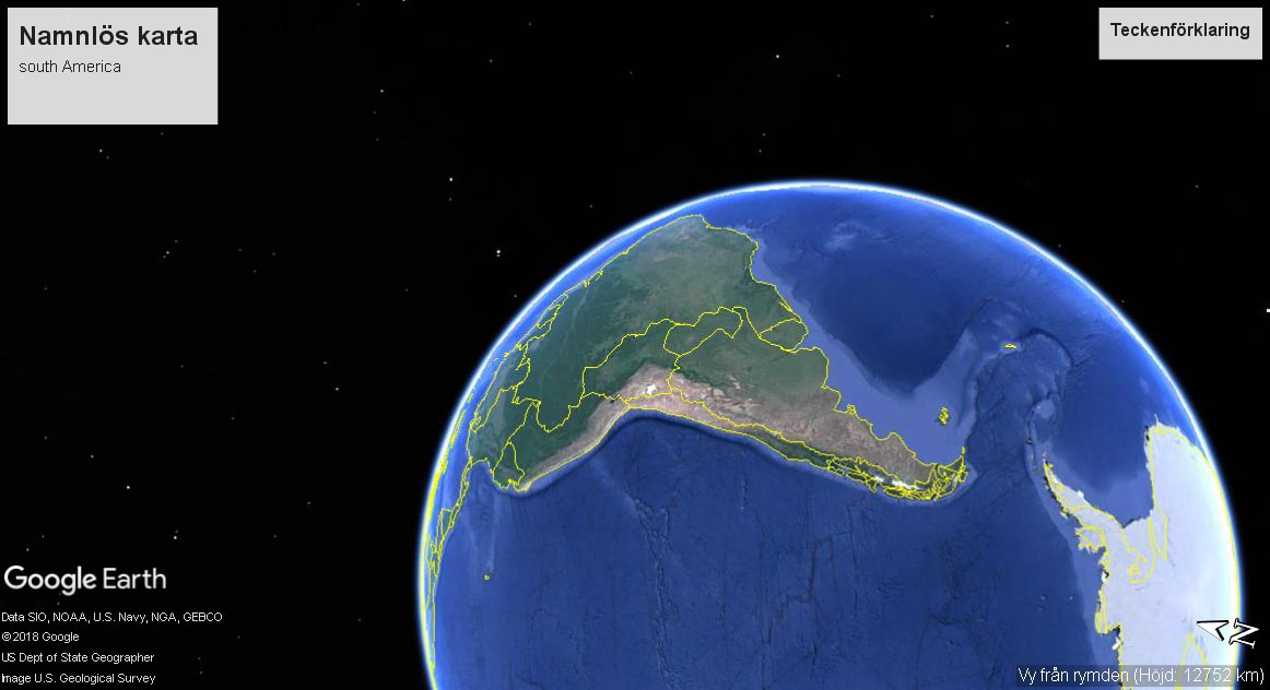
South America and Antarctica.
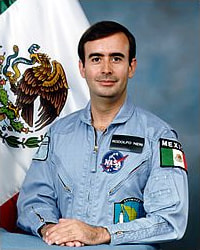
Astronaut :Rodolfo Neri Vela from South America.
Astronaut :Rodolfo Neri Vela from South America.
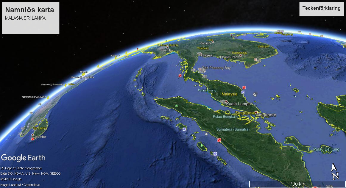
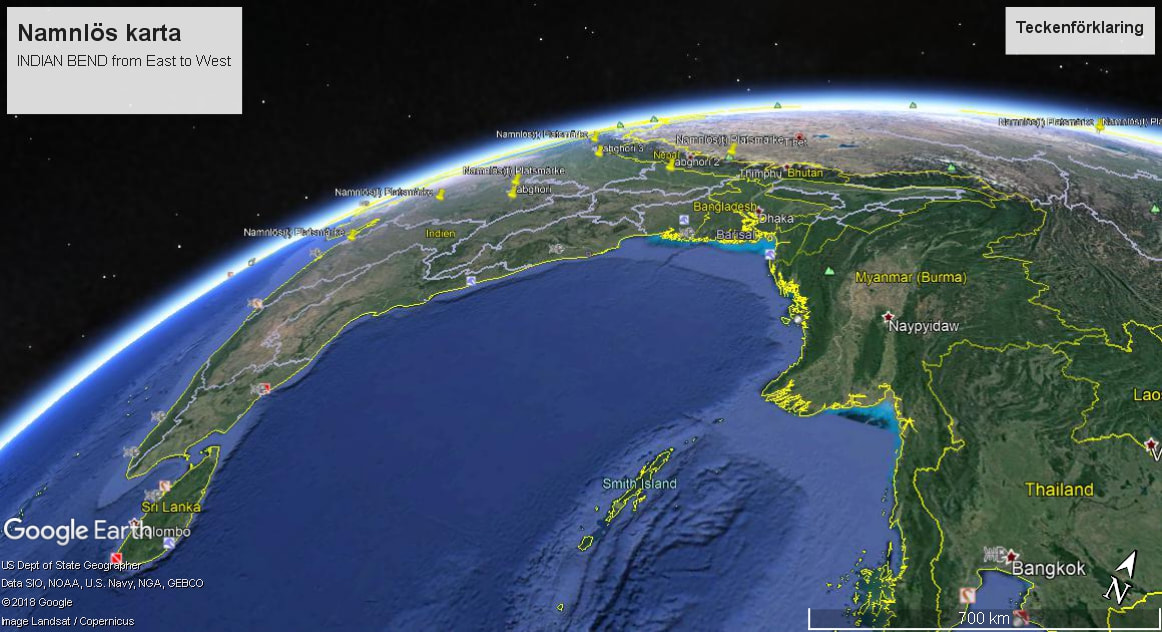
Southern tip of INDIA to the West and the Malasian and Srilankan islands in the center to the north.
Sheikh Muszaphar Shukor Al Masrie bin Sheikh Mustapha(born 27 July 1972) is a Malaysian orthopaedic surgeon and the first Malaysian astronaut. He launched to the International Space Station aboard Soyuz TMA-11 with the Expedition 16 crew on 10 October 2007.
Sheikh Muszaphar Shukor Al Masrie bin Sheikh Mustapha(born 27 July 1972) is a Malaysian orthopaedic surgeon and the first Malaysian astronaut. He launched to the International Space Station aboard Soyuz TMA-11 with the Expedition 16 crew on 10 October 2007.

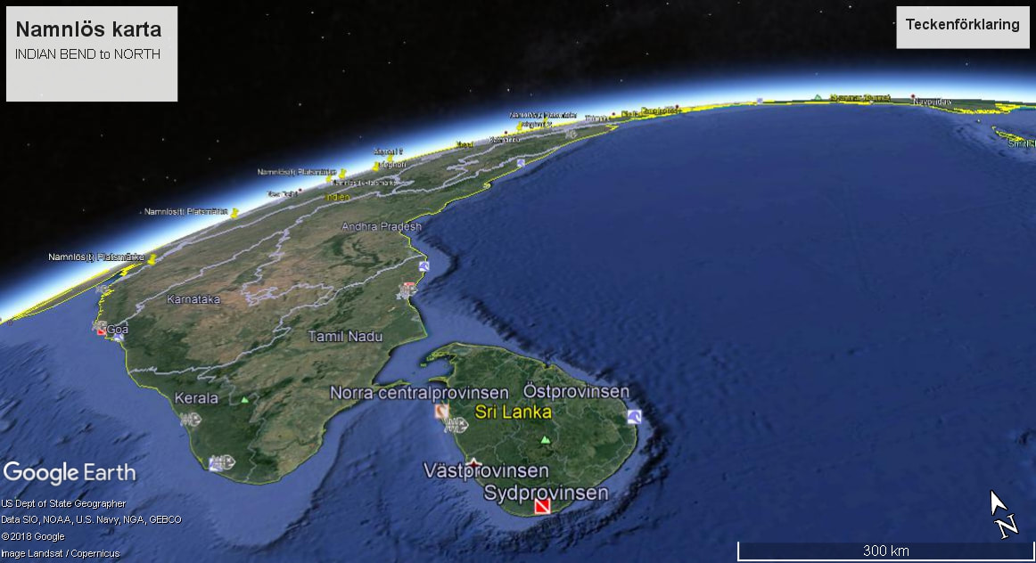
INDIA bending to the North as the way up from SRI LANKA to the Himalayas.
Sri Lanka will send its first astronaut to space within the next seven years with the help of Chinese government, Science and Technology Senior Minister Tissa Vitharana declared
from: .(www.emirates247.com/news/sri-lanka/sri-lanka-to-send-astronaut-to space).
Sri Lanka will send its first astronaut to space within the next seven years with the help of Chinese government, Science and Technology Senior Minister Tissa Vitharana declared
from: .(www.emirates247.com/news/sri-lanka/sri-lanka-to-send-astronaut-to space).
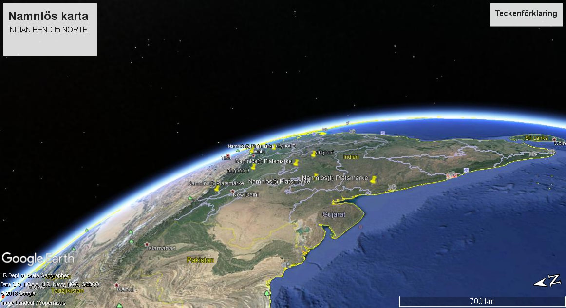
The desert of the Himalayas,the Himalayan mountains and , to the North as INDIA bends to the South on the right side.
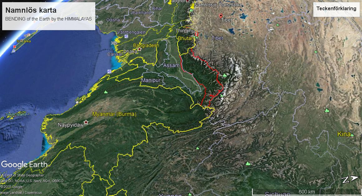
The GREAT SURGE of INDIA to the Himalayas mountains and the bending of the EARTH to the center of them as TIBET.
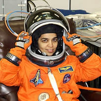
Kalpana Chawla (March 17, 1962 – February 1, 2003) was an American astronaut and the first woman of Indian origin in space. She first flew on space shuttle Columbia in 1997 as a mission specialist and primary robotic arm operator.
Kalpana Chawla (March 17, 1962 – February 1, 2003) was an American astronaut and the first woman of Indian origin in space. She first flew on space shuttle Columbia in 1997 as a mission specialist and primary robotic arm operator.
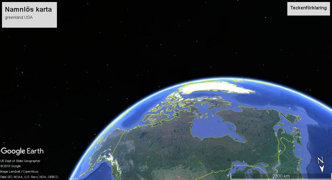
Greenland to the North and Canada to the South.
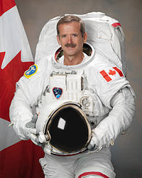
Chris Hadfield from CANADA.
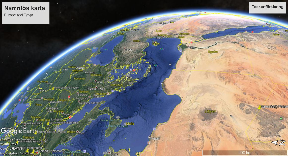
Europe to the East and Egypt to the Middle East and GREECE in the center.
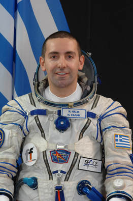
Astronaut from Greece: Nik Halik.
Astronaut from Greece: Nik Halik.
The BENDING of EARTH by into the Himalayan BASIN.
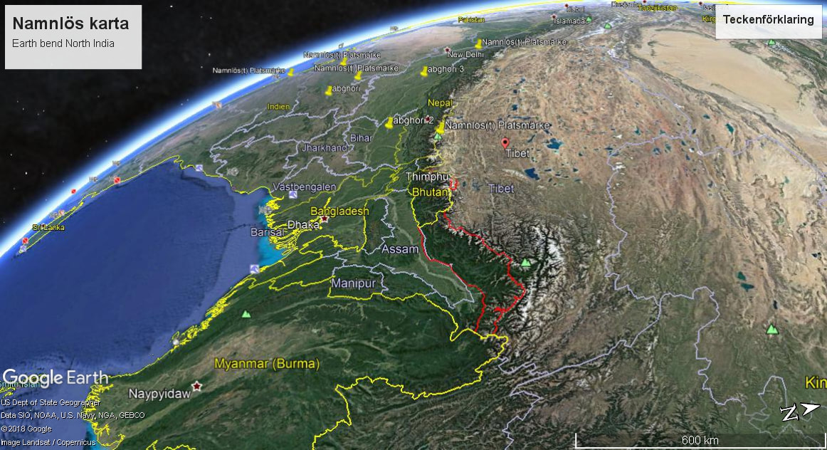
Another image of the Earth bending into the Himalayas and CHINA.
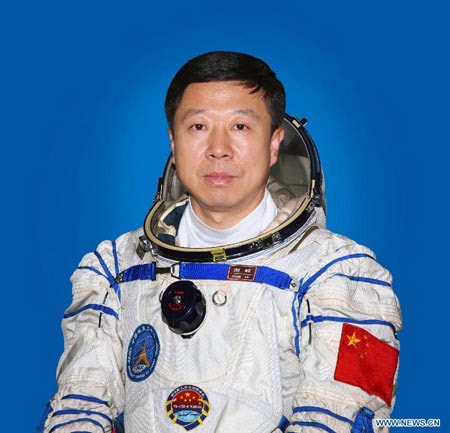
Astronaut:Liu Wang, Shenzhou-IX astronaut.
Astronaut:Liu Wang, Shenzhou-IX astronaut.
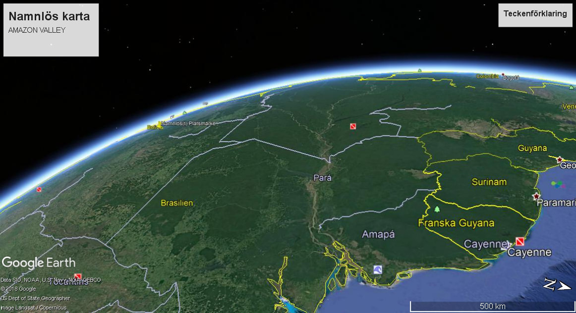
The VALLEY of the AMAZON river.
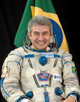
Marcos Pontes from BRAZIL.
Here are some explanations of the Kennedy space program and the "different way to see the Earth".
THE REPRESENTATION of the MULTI NATIONAL SPACESHIPS by President Kennedy and his project to have people from the whole world inside space ships to go to other planets or star systems.
Here are some explanations of the Kennedy space program and the "different way to see the Earth".
THE REPRESENTATION of the MULTI NATIONAL SPACESHIPS by President Kennedy and his project to have people from the whole world inside space ships to go to other planets or star systems.
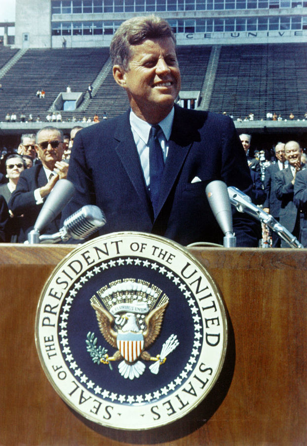
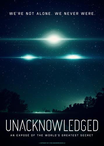
UNACKNOWLEDGED.
Long Before the SPACE SHUTTLE project and the GUESS WORK of which astronauts to choose prior to any missions, guess work that lasted 40 years and many crews , Kennedy announced that the future of space exploration would be "VERY DANGEROUS ADVENTURE" . As such he also envisioned that the GUESSWORK would be on an equal footing to the technology being used as equal and opposite to the GUESSWORK as the shuttle program,from the 80's to the 90's and the year 2000 and into 2010 , had many scientific guess work projects to do.
So the future would be "VERY LARGE" as he stated and so large in fact, that the spaceships would be so big that it would defy the imagination.
This meant that GUESSWORK= real PHYSICS as having developed space exploration to such a level that the PHYSICS of it ,are = to taking chances as something beyond the CONTROLS of it. Meaning that the example of the "Earth angles that have special value and significance to the viewer" would be see from such large spaceships that they would change the REAL VIEW of the EARTH into VIEWS that would stay with us ,just like the images of Earth with the basic, NORTH SOUTH WEST EAST we see on maps.
The spaceships would be CARTOGRAPHIC.As such they would be seen from Earth while they are in space and people would be used to the view of their motions to and forth between the planets and stars,or even inter galactic.
The view would be special for everyone on Earth seeing these spaceships, because they would be so big that it would give the DREAM to everyone regardless of nationality or
opinion.
So too each astronaut expresses his or hers country differently by their appearance and this is free to observe as with every human being on earth.
from
Wikipedia
date 2018
October 09
Cartography (/kɑːrˈtɒɡrəfi/; from Greek χάρτης chartēs, "papyrus, sheet of paper, map"; and γράφειν graphein, "write") is the study and practice of making maps. Combining science, aesthetics, and technique, cartography builds on the premise that reality can be modeled in ways that communicate spatial information effectively.
The fundamental problems of traditional cartography are to:
- Set the map's agenda and select traits of the object to be mapped. This is the concern of map editing. Traits may be physical, such as roads or land masses, or may be abstract, such as toponyms or political boundaries.
- Represent the terrain of the mapped object on flat media. This is the concern of map projections.
- Eliminate characteristics of the mapped object that are not relevant to the map's purpose. This is the concern of generalization.
- Reduce the complexity of the characteristics that will be mapped. This is also the concern of generalization.
- Orchestrate the elements of the map to best convey its message to its audience. This is the concern of map design.
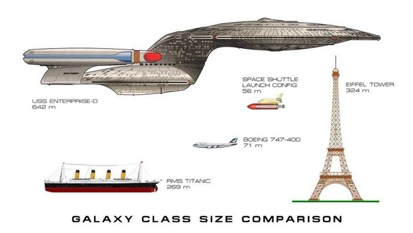
Examples of the size of spaceships that President Kennedy was planning. See the size of the USS Enterprise compared to the space shuttle.
The effect was :
action= reaction
cause = effect
Implicit = explicit.
By way of 3 such equations the lift off would define gravity but also the light exposing the spaceship as it would leave Earth by some special force
of SIZE.